What is recorded here
Indicated is a low oval enclosure on a natural rise in County Mayo pasture, scarped about fifty metres across and once ringed with trees that were later felled and levelled. It may be a forgotten ringfort or merely a decorative feature built for Frenchgrove House, depending on whether you believe local memory or estate fashion. Either way, it stands as a shallow bowl of grass and shadow, watching the surrounding land with no visible purpose except to be seen.
Encompassing a low natural rise, in lowlying pasture, with good views of surrounding landscape.
The base of a low oval rise is scarped to form an oval enclosure (48m NNE-SSW; c. 50m WNW-ESE; H c. 1.5m). It has a relatively small level area (c. 16m N-S; c. 10m E-W) on top from which ground gradually falls towards the perimeter, where it levels out for a width of 2-4m, at the outer edge of which is the scarp, reduced now to a slight undulation.
According to local information, the enclosure was once ringed with trees, but the trees were felled and the enclosing scarp was levelled. While it is not impossible that this is the remains of a ringfort, it is more likely that it was constructed as a decorative tree-ring on the Frenchgrove House estate. There is a very similar enclosure (MA119-035----) 140m to SW.
Compiled by: Jane O’Shaughnessy
Date of upload: 4 August 2023
The monument record does not grant public access. Check the route and ask the landowner before entering private land.
- What survives
- Recorded monument
Places near here
 Enclosure in Lecarrow (kilmaine By., Kilcommon Par.)Enclosure · 1258 yd
 Castle (in ruins)Castle, unclassified · 1432 yd
 Castle in ruinsCastle, unclassified · 1434 yd
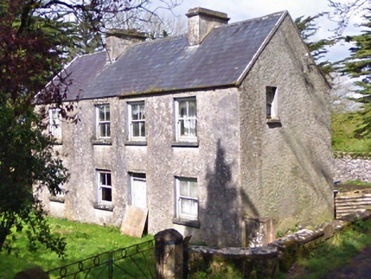 farm housefarm house · 1520 yd
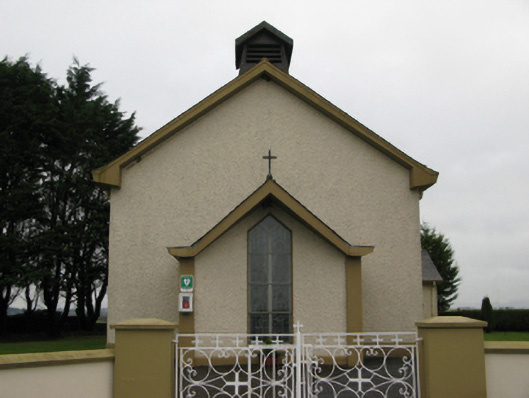 Saint Joseph's Catholic Churchchurch/chapel · 1568 yd
 Enclosure in CoolconEnclosure · 1.1 mi
 European YewEuropean Yew · 3.2 mi
 Geoffrey's WoodForest · 5.0 mi
 Mass RockNamed rock · 6.9 mi
 Ross Errilly FriaryHeritage attraction · 10 mi
 Site of FortFairy fort / earthen ringfort · 1.1 mi
 RathbaunArchaeological place · 1.4 mi