What is recorded here
On a low rise in pasture. Depicted as a subcircular enclosure with the designation 'Fort' on the 1837 ed. of the OS 6-inch map. A report in 1977 (SMR file) noted that this possible cashel (c. 65m NE-SW; c. 52m NW-SE) was defined by a substantial drystone wall with traces of a fosse at E. The wall was overgrown with trees and thorn bushes. O'Donovan
Date of upload: 22 February 2012
From the National Monuments Service (Archaeological Survey of Ireland) record LF021-024
The monument record does not grant public access. Check the route and ask the landowner before entering private land.
- What survives
- Recorded monument
Places near here
Photo credits
- National Inventory of Architectural Heritage
- AndreasDelp, Wikimedia Commons · CC BY-SA 4.0
- Kieran Campbell, Geograph · CC BY-SA 2.0
- Mike Searle, Geograph · CC BY-SA 2.0
- AmandaMcCrann, Wikimedia Commons · CC BY-SA 4.0
St. Martins WellHoly well · 632 yd water pump727 ydwater pump1462 ydLittle IslandIslet · 1.6 miInchcleraunIsland · 2.3 miRathcline CastleBawn · 2.4 miRathcline CastleHouse, fortified house · 2.4 miWhite Sand WoodWood · 2.7 miCruit BayBay · 3.0 miElfeet BayBay · 3.1 miCulnagore WoodForest · 3.2 miCloghogle StonePassage tomb · 6.7 mi
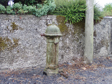 water pump727 yd
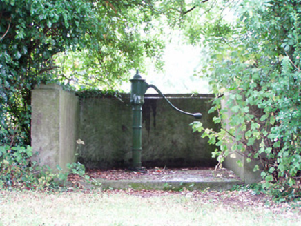 water pump1462 ydLittle IslandIslet · 1.6 mi
 InchcleraunIsland · 2.3 mi
 Rathcline CastleBawn · 2.4 mi
 Rathcline CastleHouse, fortified house · 2.4 miWhite Sand WoodWood · 2.7 miCruit BayBay · 3.0 miElfeet BayBay · 3.1 miCulnagore WoodForest · 3.2 mi
 Cloghogle StonePassage tomb · 6.7 mi
More archaeology and monuments in County Longford · All of County Longford
What do you know about this place?