What is recorded here
St Catherine's Well is located in the W face of a field bank in a hollow under trees, in the grounds of Fieldstown House. St Bride's church (DU011-002001-) and graveyard (DU011-002002-) lies 75m to W. It is enclosed by a brick and stone arched structure with an iron lattice door. Known locally as a former holy well…
Read the whole record
From the National Monuments Service (Archaeological Survey of Ireland) record DU011-002004
Places near here
Picture notes
- National Inventory of Architectural Heritage
- Computer-made picture. It does not show this playground.
- Computer-made picture. It does not show this monument.
- Kieran Campbell, Geograph · CC BY-SA 2.0
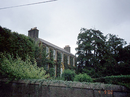 Rowlestown HouseHouse · 921 yd
Explorer Tom Rowlestown House in Rowlestown West has a round-headed door with a radial fanlight. That’s basically the house winking at you from 1760. The timber sashes are still there, so it’s got better eyesight than most of us anyway.
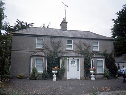 farm house964 yd
Explorer Tom Farm house in Rowlestown West is showing off those bow windows like they’re fashion statements. Built c.1890, it’s got a stable yard and some old cottages too. It’s basically a time capsule with extra steps.
Graveyard in KillosseryGraveyard · 1040 ydExplorer Tom Graveyard in Killossery looks like it was built on top of something older, raised two metres above the ground. Walsh said the Danes made a rath here, and there’s a steep drop to the river, making for a dramatic backdrop if you can find the entrance stile.
 Children's playground1218 ydComputer-made picture
Explorer Tom Children's playground in County Dublin feels a bit mysterious. I’m told the sandbox contains actual sand from the beach, but nobody believes me. Take a picture for me if you pass!
 Earthwork in Rowlestown East,rowlestown WestEarthwork · 1276 ydComputer-made picture
Explorer Tom Earthwork in Rowlestown East and West had a candlestick bit found at 'Moatfield' in 1863. The seagulls say it's not even real, just a vibe. Bring someone who'll believe anything, like me, because I said so and that's the law.
 Ring-ditch in GreenogeRing-ditch · 1.0 miComputer-made picture
Explorer Tom Ring-ditch in Greenoge has caught my eye in Greenoge, County Meath. I bet a ring-ditch with a name like that could keep me talking all afternoon; I'm already inventing a daft little scene for it, and I'll stop before it turns into history.
CastleCastle, tower house · 1.1 miExplorer Tom Castle in Castlefarm saw a major battle between Royalists and Parliamentarians back in 1642. Only the west end survives now, covered in ivy like a secret society. Go in good boots and better humour, because the ghosts are probably tired of explaining themselves.
Freedagh MoatCastle, motte · 2.0 miExplorer Tom Freedagh Moat is sitting on a ridge where the weather has a long grudge against it, keeping it damp and grumpy. Find a local and ask them the real story, then come back and tell me if they sound sane.
AshbourneMemorial · 2.8 miExplorer Tom Ashbourne has caught my eye in County Meath. I bet a memorial with a name like that could keep me talking all afternoon; I'm already inventing a daft little scene for it, and I'll stop before it turns into history.
St. John's WellSpring · 3.8 miExplorer Tom St. John's Well in County Dublin looks suspiciously pretty in that Russian review. Why does it look like a model? Don't trust it, just snap a photo and check if it's actually bubbling.
 Swords Manor PlaygroundChildren's playground · 3.8 miComputer-made picture
Explorer Tom Swords Manor Playground in County Dublin has access, which is great, but is it really a playground? Maybe just a fancy garden with a bench. Go check if the manor is still standing or just a rumor.
 Hollywood GreatMountain / peak · 5.2 mi
Explorer Tom Hollywood Great overlooks a church graveyard and Lambay Island in the distance. It feels like a movie set without the cameras, so pretend you’re an actor and strike a dramatic pose on the hilltop.
More archaeology and monuments in County Dublin · All of County Dublin

What do you know about this place?Tap to add a comment or ask a question