What is recorded here
Depicted as a sub-circular feature (diam. c. 50m) covered in trees on the 1838 'OS 6-inch' map but not shown on the 1907 edition. Now visible as a crop-mark on Bing Maps aerial view (see http://binged.it/1arNqhe).
Compiled by: Claire Breen
Date of upload: 19 July 2013
The monument record does not grant public access. Check the route and ask the landowner before entering private land.
- What survives
- Recorded monument
Places near here
 KilcromerFairy fort / earthen ringfort · 763 yd
 IndicatedEnclosure · 1394 yd
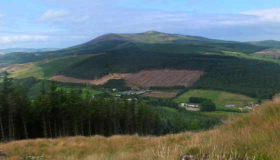 Mangan's WoodForest · 1.3 mi
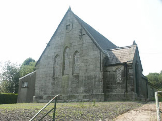 Tinahely Methodist Churchchurch/chapel · 1.5 mi
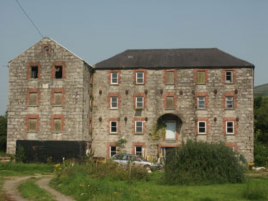 The Millmill (water) · 1.6 mi
 Ballycumber HillMountain / peak · 2.5 mi
 Sweet ChestnutSweet Chestnut · 2.6 mi
 Luke O'Toole MemorialMemorial · 2.6 mi
 Ballynultagh HillMountain / peak · 3.0 mi
 Clonmore MoatCastle, motte and bailey · 3.0 mi
 1798 Lacey Brothers MemorialMemorial · 3.3 mi
 Clonmore Castle (in Ruins)Castle, Anglo-Norman masonry castle · 3.5 mi