What is recorded here
Indicated is a circular earthen fort on a slight rise in County Meath, mapping back to 1836 when gothic letters named it simply a fort. Two streams flank the land, joining south-east of the ring, while trees now fill the shallow interior bounded by a low bank and stone scarp. The shape suggests people once lived inside that small circle, watching water move through the valley and marking the boundary between home and wild ground.
Situated on a slight rise between N-S streams c. 200m to the W and c. 80m to the E that conjoin c. 330m to the SSE. It is depicted as a circular embanked feature on the 1836 edition of the OS 6-inch map where it is described in gothic lettering as a ‘fort’. This is a circular area (diam. 37m E-W; 35m N-S) planted with trees, which is defined by an earthen bank (at N: Wth of base 4m; Wth of top 2.8m; int. H 1.3m; ext. H 1.3m) and external drain (ext. D 0.5m) NW-E. Elsewhere the perimeter is defined by a stone-faced scarp and a farm lane.
The above description is derived from the published 'Archaeological Inventory of County Meath' (Dublin: Stationery Office, 1987). In certain instances the entries have been revised and updated in the light of recent research.
Compiled by: Michael Moore
Date of revision: 31 August 2018
The monument record does not grant public access. Check the route and ask the landowner before entering private land.
- What survives
- Recorded monument
Places near here
 Portal tomb in ErveyPortal tomb · 431 yd
 IndicatedEnclosure · 541 yd
 Miltown GlenWood · 1417 yd
 The CurraghWood · 1.0 mi
 Church of the Immaculate Conceptionchurch/chapel · 2.0 mi
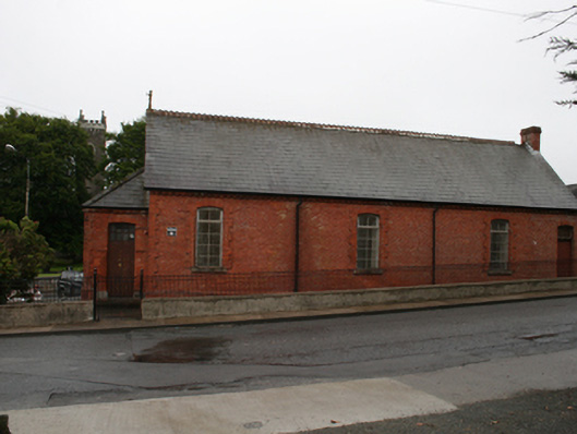 Kingscourt Parochial Hallchurch hall/parish hall · 2.0 mi
 Castle in ruinsCastle, unclassified · 2.5 mi
 Fair of MuffMemorial · 2.5 mi
 CabraMountain / peak · 2.8 mi
 Castle ruinsCastle, unclassified · 3.1 mi
 In Memory of Our DadMemorial · 3.1 mi
 BarleyhillMountain / peak · 3.5 mi