What is recorded here
In pasture, on rise. Circular area (35m N-S; 36m E-W), enclosed by inner earthen bank (H 1.6m), external fosse SSE-NNW and external bank (H 0.4m); levelled N to W. Entrance on E (Wth 2.2m). Gap on W of inner bank (L 14m). Tree-lined interior.
The above description has been derived from D. Lavelle (compiler), An Archaeological Survey of Ballinrobe and District including Lough Mask and Lough Carra. Lough Mask and Lough Carra Tourist Development Association (1994), No. 160.
Date of upload: 21 January 2015
The monument record does not grant public access. Check the route and ask the landowner before entering private land.
- What survives
- Recorded monument
Places near here
 IndicatedEnclosure · 706 yd
 TobernacannanaHoly well · 804 yd
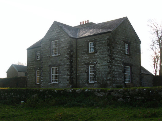 Luffertaun Housefarm house · 891 yd
 Luffertaun Castle in ruinsCastle, unclassified · 922 yd
 The Celtic FurrowHeritage attraction · 1196 yd
 Church in ruinsChurch · 1396 yd
 Ballintubber AbbeyHeritage attraction · 1434 yd
 Mearing IslandIslet · 1.7 mi
 Bird IslandIslet · 2.0 mi
 Castleburke in ruinsCastle, tower house · 2.0 mi
 Cerberus, from Thomastown HouseMemorial · 2.5 mi
 Doon WoodWood · 2.8 mi