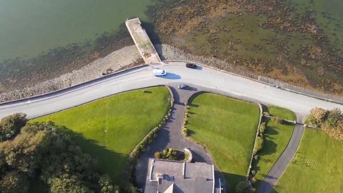
What is recorded here
In pasture, located on elevated ground. Indicated on the 1838 OS 6-inch map as a circular enclosure (diam. c. 20m), incorporated into the junction of four modern rectangular fields. The enclosure was levelled in the past, and there is no visible trace at ground level; its location and size suggest that it may have been a ringfort (Morahan 2001, 107).
Compiled by: Jane O'Shaughnessy
Date of upload: 19 May 2020
This remains an important historical record, but the official description says the monument is no longer visible or has been destroyed. The monument record does not grant public access. Check the route and ask the landowner before entering private land.
- What survives
- No visible remains or recorded as destroyed
Places near here
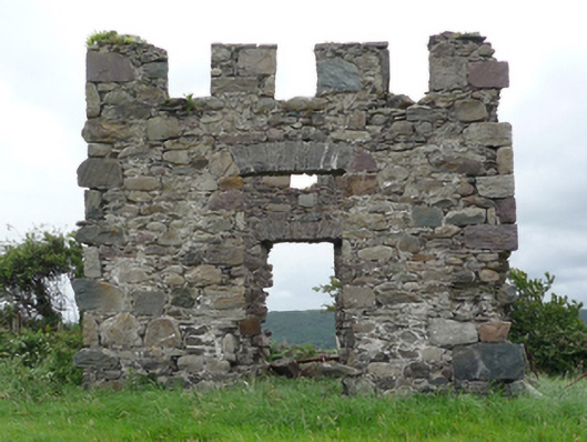 Cherry Cottagefolly · 89 yd
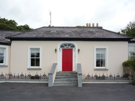 Summervillehouse · 196 yd
 Site of ChurchChurch · 1051 yd
 St. Columbkilles WellHoly well · 1150 yd
 Clew Bay Heritage CentreMuseum · 1434 yd
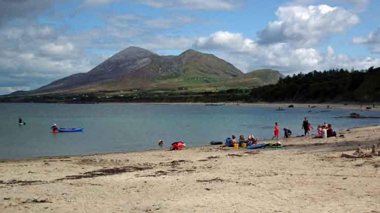 Garvillaun PointHeadland · 1577 yd
 CastleCastle, unclassified · 1.0 mi
 Pirate QueenHeritage attraction · 1.2 mi
 Barrett's HillMountain / peak · 1.3 mi
 BaldcypressBaldcypress · 1.3 mi
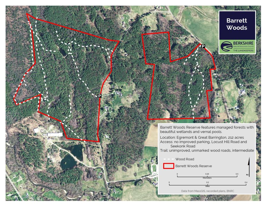 Barrett's WoodWood · 1.3 mi
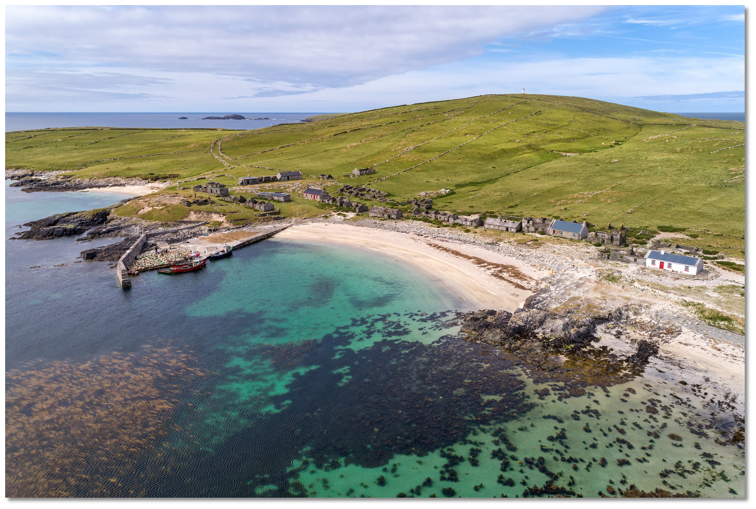 Annagh IslandIslet · 1.4 mi
Other information
Photo: Credit not shown in the picture search · Rights wording not checked; contact us if this picture should be removed