What is recorded here
Located on just W of the summit of a NE-SW drumlin ridge, and overlooking the small Drumloo Lough which is c. 130m m to the NW. This is a circular grass-covered area (diam. 39.8m NW-SE) with some mature trees defined by an earthen bank and hedge S-W, which is reduced to a scarp (H c. 2m) elsewhere. At NE farm buildings have destroyed the perimeter and probably the original entrance.
From the National Monuments Service (Archaeological Survey of Ireland) record MO008-006
The monument record does not grant public access. Check the route and ask the landowner before entering private land.
- What survives
- Recorded monument
Places near here
Photo credits
- National Inventory of Architectural Heritage
- Kenneth Allen, Geograph · CC BY-SA 2.0
- abdallahh from Montréal, Canada, Wikimedia Commons · CC BY 2.0
- Allie_Caulfield from Germany, Wikimedia Commons · CC BY 2.0
- Jonathan Billinger, Wikimedia Commons · CC BY-SA 2.5
- Dieglop, Wikimedia Commons · CC BY-SA 4.0
- Colin Park, Geograph · CC BY-SA 2.0
- Walking with a phone, Wikimedia Commons · CC BY-SA 4.0
- Enda O Flaherty, Wikimedia Commons · CC BY-SA 2.0
- Kieran Campbell, Geograph · Creative Commons Attribution-ShareAlike 2.0
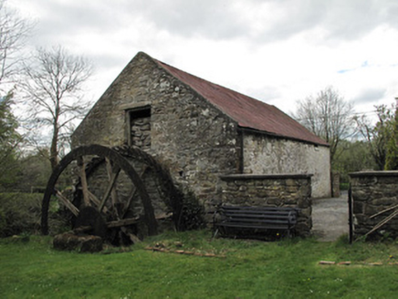 Drummans MillMill (water) · 830 yd
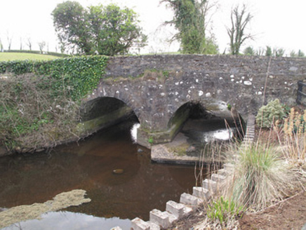 bridge1.0 mi
 Sliabh Beagh Hotel and Tourism CentreVisitor information · 2.7 mi
 Western Redcedar2.9 mi
 Coast Redwood2.9 mi
 Attack on Derryard checkpointTerrorist attack · 3.0 mi
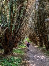 Rossmore Forest ParkWood · 5.5 mi
 Slieve Beagh se TopMountain / peak · 5.6 mi
 Rossmore MausoleumHeritage attraction · 5.6 mi
 Slieve BeaghMountain / peak · 5.9 mi
 Giants GreveWedge tomb · 6.6 mi
 Grave YardGraveyard · 7.0 mi
More archaeology and monuments in County Monaghan · All of County Monaghan
What do you know about this place?