What is recorded here
Shown on the 1st edition OS 6-inch map as a hachured enclosure and indicated on the current OS 6-inch map. The site has since been removed leaving no surface remains.
From the National Monuments Service (Archaeological Survey of Ireland) record SL020-117
Places near here
Photo credits
- National Inventory of Architectural Heritage
- A.-K. D., Wikimedia Commons · CC0
- Wikimedia Commons contributor · Public domain
- N Chadwick, Wikimedia Commons · CC BY-SA 2.0
- Bob Embleton, Wikimedia Commons · CC BY-SA 2.0
- D Gore, Geograph · CC BY-SA 2.0
- GTD Aquitaine, Wikimedia Commons · Public domain
- Didier Descouens, Wikimedia Commons · CC BY-SA 4.0
- Oliver Dixon, Geograph · CC BY-SA 2.0
- Lucarelli, Wikimedia Commons · CC BY-SA 3.0
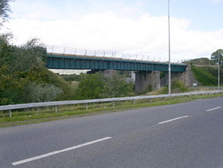 bridge1012 yd
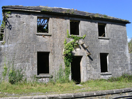 Ballysadare Railway StationStation master's house · 1722 yd
 CrannogeCrannog · 1.7 mi
 CloghagadaideArchaeological place · 1.8 mi
 Carrowmore Visitors CentreVisitor information · 2.1 mi
 Carrowmore Megalithic CemeteryHeritage attraction · 2.1 mi
 Tobernalt Holy WellSpring · 2.2 mi
 Green IslandIslet · 2.3 mi
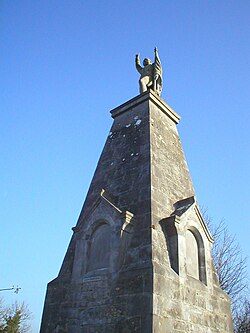 Battle of CollooneyBattle · 2.4 mi
 Strawberry tree2.7 mi
 Cottage IslandIslet · 2.9 mi
 Holm Oak3.1 mi
More archaeology and monuments in County Sligo · All of County Sligo

What do you know about this place?Tap to add a comment or ask a question