What is recorded here
Located c. 100m from the N end of the narrow N-S Lough Adorn (dims c. 500m N-S; c. 50-100m E-W) which has almost dried up. It is depicted as a small island on the 1835 (diam. c. 10m) and 1907 (diam. c. 20m) editions of the OS 6-inch map. This is a low circular rise (diam. c. 15m; H 0.5m) with dense sally growth. There is no visible surface evidence of artificial construction.
The above description is derived from 'The Archaeological Inventory of County Leitrim' compiled by Michael J. Moore (Dublin: Stationery Office, 2003). In certain instances the entries have been revised and updated in the light of recent research.
Date of upload: 23 September 2008
The monument record does not grant public access. Check the route and ask the landowner before entering private land.
- What survives
- Recorded monument
Places near here
 LisroughtyFairy fort / earthen ringfort · 1241 yd
 DrumgownaghMountain / peak · 1530 yd
 IndicatedEnclosure · 1.2 mi
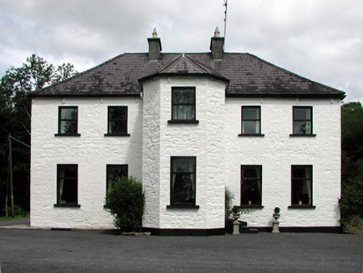 Corduff Househouse · 1.5 mi
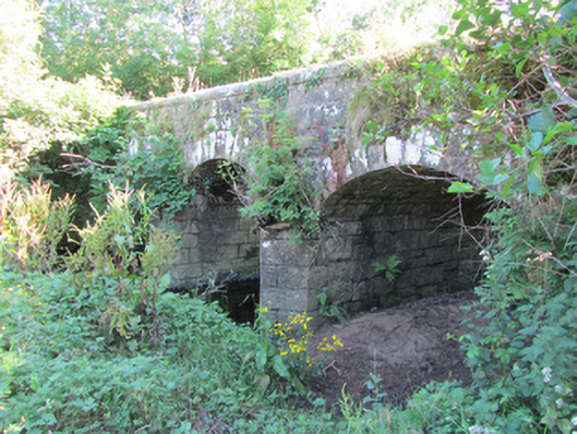 Bonebrook Bridgebridge · 1.6 mi
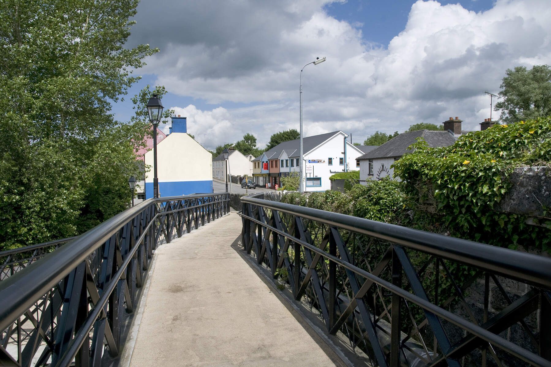 DerrinivverMountain / peak · 1.6 mi
 Cornagunleog ForestForest · 2.1 mi
 Owengallees WoodlandForest · 2.9 mi
 Bawn in Cherry IslandBawn · 3.5 mi
 Cherry IslandIslet · 3.5 mi
 Swan Island pet farmHeritage attraction · 3.6 mi
 BatteryBawn · 3.8 mi