What is recorded here
The lost fort at Lisgruddy is a shallow D-shaped scar, thirty-five metres across, hidden under grass on a drumlin ridge in County Leitrim. It vanished from official maps because farmers straightened the curved bank that once marked its edge. Aerial photographs still capture the circle, proving the land remembered the shape long after human records forgot it.
Situated in reclaimed pasture on the summit of a N-S drumlin ridge. It not marked as an antiquity on any OS 6-inch map but is suggested by a westward curve in a N-S field bank on the 1944 revised edition. It is also visible as a circular feature on aerial photographs (GSIAP: H 14/13). This is a grass-covered D-shaped area (dims 35m NE-SW; 32m NW-SE) defined by a slight scarp (H 0.2m). The monument was truncated slightly by an E-W field bank at S, which has now been removed. A fosse or entrance cannot be detected, but this was undoubtedly a rath.
The above description is derived from 'The Archaeological Inventory of County Leitrim' compiled by Michael J. Moore (Dublin: Stationery Office, 2003). In certain instances the entries have been revised and updated in the light of recent research.
Date of upload: 23 September 2008
The monument record does not grant public access. Check the route and ask the landowner before entering private land.
- What survives
- Recorded monument
Places near here
 LisgruddyFairy fort / earthen ringfort · 776 yd
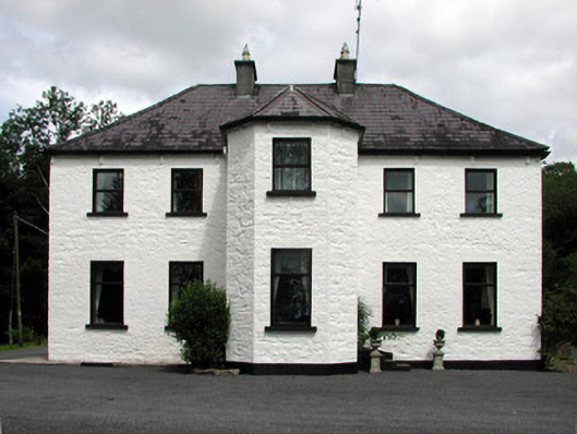 Corduff Househouse · 789 yd
 LisroughtyFairy fort / earthen ringfort · 906 yd
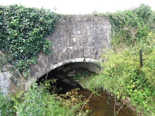 County Bridgebridge · 1.4 mi
 Cornagunleog ForestForest · 1.6 mi
 DrumgownaghMountain / peak · 2.0 mi
 DerrinivverMountain / peak · 2.4 mi
 Bawn in Cherry IslandBawn · 2.4 mi
 Black PoplarBlack Poplar · 2.4 mi
 Cherry IslandIslet · 2.4 mi
 CastleCastle, ringwork · 2.5 mi
 Swan Island pet farmHeritage attraction · 2.6 mi