DDiscover AloneMapAbout

Bawn in Dromaneen

Bawn

The monument record does not grant public access. Check the route and ask the landowner before entering private land.

What do you know about this place?Tap to add a comment or ask a question

What you write will be public.

What is recorded here

On rising pastureland to the S of Dromaneen fortified house (CO032-097002-). The house and bawn complex was built by the O'Callaghans (Grove White 1905-25, vol. 3, 61), and is said to have been constructed in the early 17th century on the site of an earlier castle (Smith 1750, vol. 1, 300). The bawn was described in…

Read the whole record
On rising pastureland to the S of Dromaneen fortified house (CO032-097002-). The house and bawn complex was built by the O'Callaghans (Grove White 1905-25, vol. 3, 61), and is said to have been constructed in the early 17th century on the site of an earlier castle (Smith 1750, vol. 1, 300). The bawn was described in 1897 as being 'of about six acres, which was all paved over up to recent times' (Grove White ibid., 64). It is the only example of the bawn of a fortified house to have survived intact in Co. Cork, and is one of the largest in Ireland (Heritage Castles of County Cork 2017, 43). The bawn's large trapezoidal area (c. 1.85 ha; c. 180m SW-NE; c. 200m SE-NW) is enclosed by limestone walls (H up to c. 4m); this runs c. 30m due E from the gateway passage on the E side of structure 3, to the NE corner tower; it then turns S for c. 175m to the site of the former SE corner tower, with semi-circular projection at mid-point; it then runs W for c. 120m to the SW corner tower, this line of wall is obscured by ruined farm buildings built against its outside face; the wall then runs NW for c. 310m with a semi-circular projection at mid-point; at this point the walls end at cliff face c. 115m SW of structure 2. The S end of the E bawn wall (L c. 20m) fell during a storm in the winter of 1997/98. The SE corner tower contained a 'columbarium' (Jones 1907, 84-85); the tower stood until 1906 when it was demolished for 'the wrought stones'; Jones (ibid.) describes it as a circular tower (diam. 17ft, H 271/2ft, wall T 2ft 4in) with a door into the bawn, 13 tiers of nests (7in square; 8in deep), haphazardly placed, and with embrasures in the S and E walls; the corner tower at Carriganass Castle (CO106-001----) in West Cork has similar nesting boxes. The two surviving towers stand to one storey and are rubble-filled (int. diam. variable, 4.6m-5.4m), with gunloops along the outer circumference. Semi-circular projections mid-way along the E and W wall are similarly rubble filled and pierced with gun loops. See also Heritage Castles of County Cork (Heritage Unit of Cork County Council, 2017): https://www.corkcoco.ie/sites/default/files/2022-10/heritage_castles_of_county_cork_2017.pdf See attached photograph CO032-097001-_01: Aerial view of bawn from SW. References: 1. Grove White J. 1905-25 Historical and Topographical Notes, Etc., on Buttevant, Castletownroche, Doneraile, Mallow, and Places in Their Vicinity. Collected by Colonel J.G. White. [With Illustrations.]. 4 volumes. Cork. Guy&Co. 2. Smith, C. 1750 (New Edition 1815) The ancient and present state of the County and City of Cork, 2 vols. Cork. Guy and Co. Ltd. 3. Jones, A.H. 1907 The Dromineen columbarium. Journal of the Cork Historical and Archaeological Society 13, 84-5.

From the National Monuments Service (Archaeological Survey of Ireland) record CO032-097001

Places near here

Photo credits
  • Mike Searle, Wikimedia Commons · CC BY-SA 2.0
  • National Inventory of Architectural Heritage
  • Maker not stated on source page, www.irelandhighlights.com
  • Maker not stated on source page, www.youtube.com
  • kevin higgins, Geograph · CC BY-SA 2.0
Dromaneen CastleHeritage attraction · 65 yd

Explorer Tom Dromaneen Castle in County Cork is hidden by trees because the map makers were too lazy to walk the extra ten yards to…

Dromaneen Castle (in Ruins)House, fortified house · 71 yd

Explorer Tom Dromaneen Castle sits atop a cliff edge overlooking the Blackwater River. It was an O'Callaghan fortified house built…

Old CanalCanal (section of) · 574 yd

Explorer Tom Old Canal in Ballynafeaha was built to move coal, but now it just moves your imagination. The lock at Longueville is…

Standing stone in DromaneenStanding stone · 812 yd

Explorer Tom Standing stone in Dromaneen is a bit shy, sitting on J. Curtin’s land with only 10 inches left standing. It’s got a…

Waterloo HouseGate lodge · 890 yd

Explorer Tom Waterloo House in Gearanaskagh looks like a tiny medieval castle that got lost on the way to Normandy. It’s a gate…

Longueville HouseBridge · 1127 yd

Explorer Tom Longueville House isn’t even a house, it’s a bridge! Built 1780 over the Finnow Stream. It’s got those finely executed…

Longueville House HotelDemesne walls/gates/railings · 1164 yd

Explorer Tom Longueville House Hotel’s entrance gateway is showing off its blacksmith skills like it invented fire. It’s an…

Enclosure in BallynafeahaEnclosure · 1213 yd

Explorer Tom Enclosure in Ballynafeaha thinks tourists from Dublin are all talk and no walk. It’s just a cropmark in a tillage…
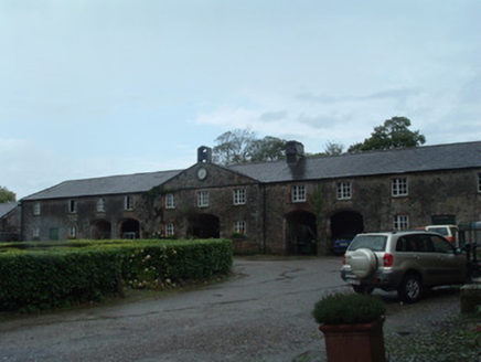
Longueville HouseLongueville HouseFarmyard complex · 1390 yd

Explorer Tom Longueville House farmyard complex in Longueville is a Georgian courtyard that probably hears everything through those…

SummervilleSummervilleHouse · 1534 yd

Explorer Tom SummervilleSummerville in Gortnagross is trying to look grand with its limestone façade. Built around 1740, it has…
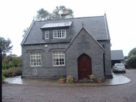
Longueville SchoolSchool · 1716 yd

Explorer Tom Longueville School in Kilgobban dates from 1890 and has gabled porches on both ends. It was dedicated to Richard…

Longfield's BridgeBridge · 1.0 mi

Explorer Tom Longfield's Bridge over the Blackwater is showing off its tooling on the voussoirs like it carved them itself. It’s one…

More castles and forts in County Cork · All of County Cork

Add to this placeAdd a picture Add a detailed tip Add a story

Explore the map1,095,414 places to discover

Next place · or swipeDromaneen Castle