
What is recorded here
Levelled in the 1970's during land reclamation in the area. Not visible at ground level. Described by Reynolds (ASI file 1977) as an almost completely levelled subcircular area (diam. 43m NE-SW) defined by a poorly preserved earthen bank with no traces of an external bank.
The above description is derived from the published 'Archaeological Inventory of County Offaly' (Dublin: Stationery Office, 1997). In certain instances the entries have been revised and updated in the light of recent research.
Date of upload: 23 May 2011
A local fairy fort (ringfort/rath); wider significance not recorded.
The monument record does not grant public access. Check the route and ask the landowner before entering private land.
- What survives
- Recorded monument
Places near here
 RoadRoad, class 3 togher · 1231 yd
 Ballinough Big RockMass-rock · 1469 yd
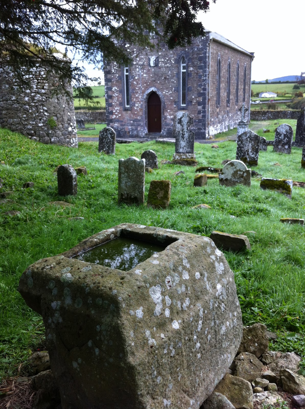 Holy well in Kilbride (kilcoursey By.)Holy well · 1653 yd
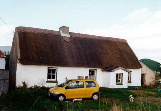 farm housefarm house · 1743 yd
 Castle (in ruins)Castle, tower house · 1.1 mi
 Trumpet HillMountain / peak · 1.5 mi
 Clara Bog BoardwalkHeritage attraction · 1.6 mi
 Kilcoursey Castle (in Ruins)Bawn · 1.7 mi
 European ashEuropean ash · 2.0 mi
 Chapel HillForest · 2.1 mi
 St. Columba's WellSpring · 3.1 mi
 Inchaloon IslandIslet · 3.5 mi
Other information
Photo: Credit not shown in the picture search · Rights wording not checked; contact us if this picture should be removed