What is recorded here
The fairy fort or earthen ringfort in Doonfore is in County Sligo, Ireland. The raised circular area measures about thirty metres across and sits close to the base of a steep southeast facing slope. A steep scarp one to one point four metres high defines the eastern and southern perimeter, while modern field boundaries destroyed the western edge and original entrance. A circular hole at the southwest interior provides access to a man made underground passage.
Situated close to the base of a steep SE-facing slope. Not marked on the 1837 edition of the OS 6-inch map. Raised circular area (diam. c.30m) defined from ENE-E-S by a steep scarp (H 1m - 1.4m) which may have had a stone wall at its upper edge. Elsewhere the perimeter and portion of the internal area have been destroyed as a consequence of the construction of modern linear field boundaries. Original entrance not recognisable. Within the internal area at SW, adjacent to a modern field wall, is a circular hole giving access to a Man-made underground passage (see SL004-007002-).
Compiled by: Patrick F. O'Donovan
Date of upload: 17 April 2013
The monument record does not grant public access. Check the route and ask the landowner before entering private land.
- What survives
- Recorded monument
Places near here
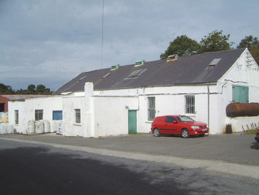 Ballinfull Creamerycreamery · 535 yd
 Bawn in DoonforeBawn · 689 yd
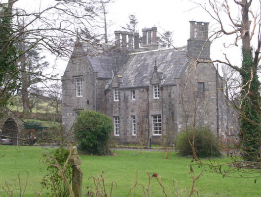 The Rectoryrectory/glebe/vicarage/curate's house · 834 yd
 Forester's WoodForest · 1500 yd
 LissadellFairy fort / earthen ringfort · 1.1 mi
 Upperglen WoodForest · 1.2 mi
 St. Molaisses WellHoly well · 1.3 mi
 Castle (Site of)Castle, unclassified · 1.5 mi
 Ardtermon StrandBeach / strand · 2.5 mi
 de Cuellar Armada MonumentMemorial · 2.7 mi
 Drumcliff BayBay · 2.7 mi
 Finned PointHeadland · 2.8 mi