What is recorded here
Situated close to the base of a steep SE-facing slope. Not marked on the 1837 edition of the OS 6-inch map. Raised circular area (diam. c.30m) defined from ENE-E-S by a steep scarp (H 1m - 1.4m) which may have had a stone wall at its upper edge. Elsewhere the perimeter and portion of the internal area have been destroyed as a consequence of the construction of modern linear field boundaries. Original entrance not recognisable. Within the internal area at SW, adjacent to a modern field wall, is a circular hole giving access to a Man-made underground passage (see SL004-007002-).
Compiled by: Patrick F. O'Donovan
Date of upload: 17 April 2013
The monument record does not grant public access. Check the route and ask the landowner before entering private land.
- What survives
- Recorded monument
Places near here
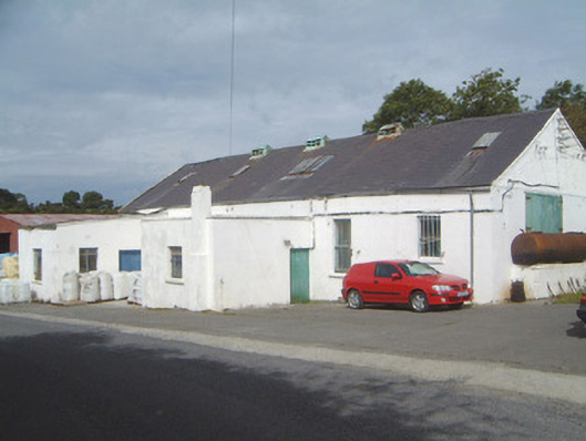 Ballinfull Creamerycreamery · 535 yd
 Bawn in DoonforeBawn · 689 yd
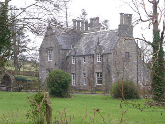 The Rectoryrectory/glebe/vicarage/curate's house · 834 yd
 Forester's WoodForest · 1500 yd
 LissadellFairy fort / earthen ringfort · 1.1 mi
 Upperglen WoodForest · 1.2 mi
 St. Molaisses WellHoly well · 1.3 mi
 Castle (Site of)Castle, unclassified · 1.5 mi
 Ardtermon StrandBeach / strand · 2.5 mi
 de Cuellar Armada MonumentMemorial · 2.7 mi
 Drumcliff BayBay · 2.7 mi
 Finned PointHeadland · 2.8 mi