What is recorded here
Situated on top of a drumlin. A subrectangular wood with rounded corners defined by a field bank is depicted as on the 1834 and 1907 editions of the OS 6-inch map, and it is known locally as a ‘fort’. This is a subrectangular area (max. dims c. 110m N-S; c. 80m E-W) defined by a field bank with an outer ditch. The interior is wooded and waterlogged. There is no identifiable original entrance. Date of revised upload: 25 July 2017
From the National Monuments Service (Archaeological Survey of Ireland) record MO003-049
Places near here
Photo credits
- National Inventory of Architectural Heritage
- Kenneth Allen, Geograph · CC BY-SA 2.0
- Jimi Irwin, Geograph · CC BY-SA 2.0
- Kenneth Allen, Geograph · Creative Commons Attribution-ShareAlike 2.0
- R0025693, Wikimedia Commons · CC BY-SA 4.0
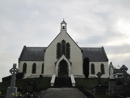 Saint Patrick's Catholic ChurchChurch/chapel · 1.2 mi
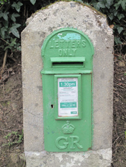 post box1.2 mi
 Coolberrin HillMountain / peak · 1.3 miDerrygorry WoodForest · 1.5 mi
 Sliabh Beagh WayWalking route · 3.2 mi
 Carleton's CottageHeritage attraction · 3.3 mi
 Dual court tomb: carnagat in BallywholanDual Court Tomb: Carnagat · 3.6 mi
 Platform rath in KilruddanPlatform Rath · 3.7 mi
 Medieval Church & Graveyard: Aghaloo Church in RouskyMedieval Church & Graveyard: Aghaloo Church · 4.2 mi
 Franciscan Friary, Round Tower, Church, Graveyard & 2 Fonts: Ballynasaggart in BallynasaggartFranciscan Friary, Round Tower, Church, Graveyard & 2 Fonts: Ballynasaggart · 4.9 mi
 Medieval Parish Church; Graveyard also Site of C13th Battle: Carnteel Church in CarnteelMedieval Parish Church · 5.5 mi
 KnockmanyArchaeological place · 6.1 mi
More archaeology and monuments in County Monaghan · All of County Monaghan
What do you know about this place?Tap to add a comment or ask a question