What is recorded here
On the N side of a minor road in a small wooded area on the S slope of Knockeirka. Remains of limekiln, horseshoe-shaped in plan, defined by rubble wall with earthen core (T 1.2m; H 1.2m). Break (Wth c. 1.3m) at SE marks position of recess but recess itself no longer exists. Stone-lined funnel has a diam. of 2m at present top and tapers to a diam. of c. 1.3m at base. Rear of the kiln has been cut into hillslope. Field walls about kiln at NW and NE and there is a quantity of large stones, possibly collapse, at S.
Compiled by: Elizabeth Byrne, Ursula Egan and Sheila Ronan, Archaeological Survey Unit, University College, Cork.
Date of upload: 30 May 2011
The monument record does not grant public access. Check the route and ask the landowner before entering private land.
- What survives
- Recorded monument
Places near here
 IndicatedFairy fort / earthen ringfort · 413 yd
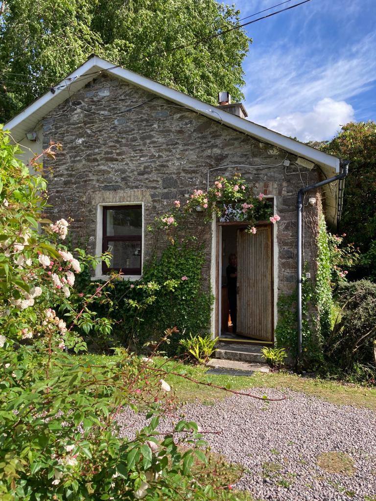 Enclosure in KillabunaneEnclosure · 902 yd
 BeneenMountain / peak · 1163 yd
 KilnKiln, lime · 1588 yd
 CrannogHeritage attraction · 1.2 mi
 Dromagorteen Br.Bridge · 1.2 mi
 DerrynacaheraghMountain / peak · 1.2 mi
 Bonane Heritage ParkMuseum · 1.3 mi
 Mucksna Nature ReserveNature reserve · 3.0 mi
 CastleCastle, unclassified · 3.2 mi
 Monterey PineMonterey Pine · 3.3 mi
 Kenmare Heritage Town - Main StreetMemorial · 3.5 mi