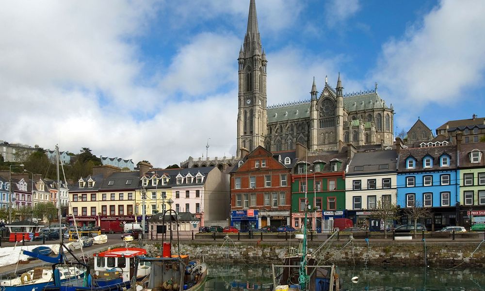
What is recorded here
On gentle S-facing slope, surrounded by blanket bog and rough grazing. Roughly circular area (20m N-S; 22.4m E-W) enclosed by collapsed stone wall (H 1m); replaced to NW by stone-faced field fence; topped by later stone wall to NE. Gap (Wth 3m) to NNE, blocked by stones; second gap to W (Wth 1.6m).
The above description is derived from the published 'Archaeological Inventory of County Cork. Volume 1: West Cork' (Dublin: Stationery Office, 1992). In certain instances the entries have been revised and updated in the light of recent research.
Date of upload/revision: 14 January 2009
The monument record does not grant public access. Check the route and ask the landowner before entering private land.
- What survives
- Recorded monument
Places near here
 Man-made underground passage in DromdrasdilMan-made underground passage · 726 yd
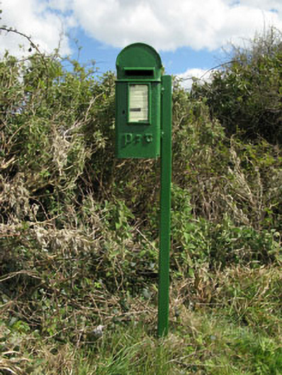 post boxpost box · 1082 yd
 Burial mound in DromdrasdilBurial mound · 1091 yd
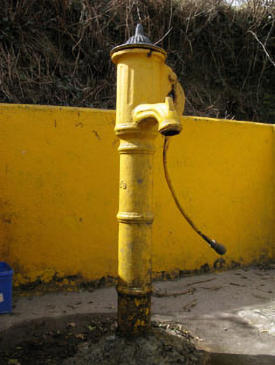 water pumpwater pump · 1236 yd
 Togher CastleCastle, tower house · 1.5 mi
 Pookeen North TopMountain / peak · 2.6 mi
 Nowen HillMountain / peak · 2.9 mi
 Funmanway Adventure LandHeritage attraction · 3.0 mi
 Castle (Site of)Castle, Anglo-Norman masonry castle · 3.4 mi
 Dunmanway Heritage CentreVisitor information · 3.6 mi
 Graveyard in Dunmanway NorthGraveyard · 3.7 mi
 Gortnahoughtee Mass RockNamed rock · 4.1 mi
Other information
Photo: Credit not shown in the picture search · Rights wording not checked; contact us if this picture should be removed