What is recorded here
In pasture, on a gentle N-facing slope. Slight visible surface trace of oval area (dims. 24m N-S; 27m E-W) defined by slight trace of levelled bank, most notable along N-arc. Identified by aerial photograph (CUCAP AYO 67, 10.7.1969) as a circular anomaly. Depicted on the 1st edition OS 6-inch map as a roughly circular enclosure (diam. c. 30m). According to local information, monument was levelled in recent decades. Church (TS070-002001-) c. 170m to S.
Compiled by: Jean Farrelly
Date of upload: 26 August 2011
The monument record does not grant public access. Check the route and ask the landowner before entering private land.
- What survives
- Recorded monument
Places near here
 Derryluskan Househouse · 563 yd
 Enclosure in AnnesgiftEnclosure · 689 yd
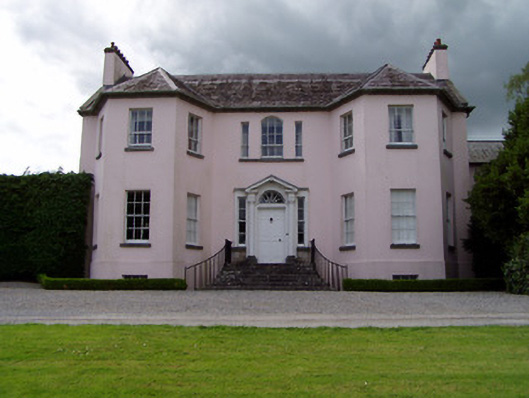 Ardsallagh Housefarmyard complex · 904 yd
 IndicatedCastle, motte · 1.2 mi
 Bawn in Ballyvadin (magorban Par.)Bawn · 1.2 mi
 Settlement desertedSettlement deserted, medieval · 1.4 mi
 Kilknockan HillMountain / peak · 2.5 mi
 European YewEuropean Yew · 2.5 mi
 East GateMemorial · 2.6 mi
 Grove WoodForest · 3.5 mi
 Eagle HillMountain / peak · 6.4 mi
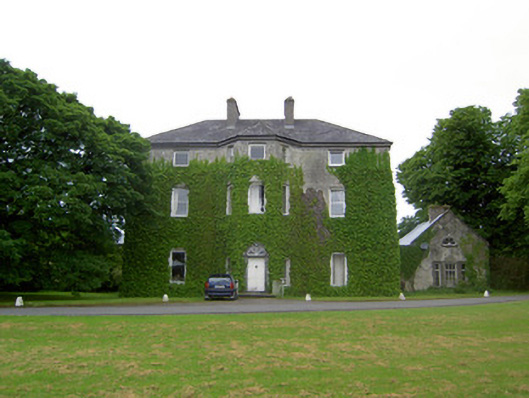 Anne's Giftcountry house · 1038 yd