
What is recorded here
Derrineel castle stands fifty metres from the Hind River, marked on a 1636 map and locally called Neal's castle. Its broken north wall still rises three metres above the level ground, preserving a narrow chamber that may have sheltered someone watching the water. The missing east and west walls leave the room open to the sky, turning a private stronghold into a quiet stage for memory.
A castle is marked at Dererelle on the Strafford map of c. 1636 (Simington 1949, Athlone (435)), and it is situated on a level landscape c. 50m from the E bank of the S-N Hind River near its source. It is locally called Neal's castle or Neill's castle. The N wall (int. L 6.35m; T 1.4m; max. H 3m) an adjacent portion of the E (int. L 2m) wall, and the adjacent part of the base of the W (int. L 1.4m; T 1.1m) survive with no diagnostic features.
Compiled by: Michael Moore
Date of upload: 24 August 2010
The monument record does not grant public access. Check the route and ask the landowner before entering private land.
- What survives
- Recorded monument
Places near here
 Fulacht fia in Ballygalda OR TrustFulacht fia · 230 yd
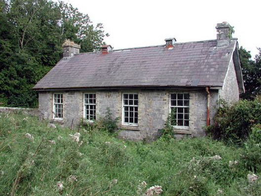 Saint Patrick's National Schoolschool · 890 yd
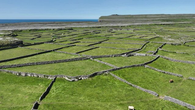 Field system in Ballygalda OR TrustField system · 1362 yd
 Church (in Ruins)Church · 1671 yd
 CastleCastle, unclassified · 1.1 mi
 Bolinree WoodForest · 1.4 mi
 TogherfinnForest · 1.7 mi
 Roscommon CastleCastle · 3.3 mi
 Hangman's HillMountain / peak · 4.6 mi
 Sally IslandIslet · 4.9 mi
 Castle KellyCastle, tower house · 5.9 mi
 Mount MaryMountain / peak · 7.6 mi
Other information
Photo: Credit not shown in the picture search · Rights wording not checked; contact us if this picture should be removed