What is recorded here
In hilly undulating pasture, incorporating a natural hillock with excellent views.
Not shown on the 1838 OS 6-inch map; shown on the 1916 edition as a wooded subcircular enclosure.
An earthen bank/scarp (Wth 2m; int. H 0.3m; ext. H 1.2m at SW), ringed with mature beech and ash trees and some scrub, encloses the top and steep N-facing slope of a hillock. The enclosed subcircular space (diam. c. 50-55m) has an oblong flattish area in the centre from which ground falls steeply to NW, N and NE. Three quarry pits (10-15m across) cut deeply into the N, E and S slopes. At N the base of the hillock is incorporated into an E−W field fence. The interior is grassy with clumps of brambles and overgrowth and a few hawthorn and ash trees.
Compiled by: Jane O’Shaughnessy
Date of upload: 4 October 2022
The monument record does not grant public access. Check the route and ask the landowner before entering private land.
- What survives
- Recorded monument
Places near here
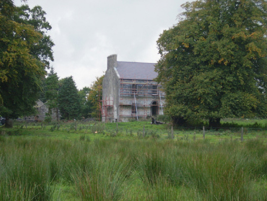 Holywell Housefarm house · 794 yd
 Cross in Holywell LowerCross · 1050 yd
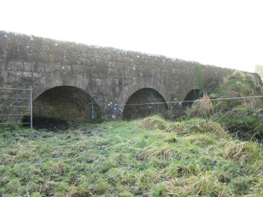 Agloragh Bridgebridge · 1138 yd
 Font in ChurchparkFont · 1381 yd
 CastleCastle, unclassified · 3.1 mi
 Ballybooley CastleCastle · 6.7 mi
 Oak WoodForest · 8.4 mi
 Land of the GiantsHeritage attraction · 8.8 mi
 Geoffrey's WoodForest · 9.3 mi
 Mass RockNamed rock · 16 mi
 Church in RuinsChurch · 1417 yd
 St. Patricks StoneRitual site, holy/saint's stone · 1.0 mi