
What is recorded here
Within a walled deerpark (LF023-135-). A possible cashel (LF023-071----) lies c. 15m to the NE and another house (LF023-071002-) lies c. 50m to the N. This rectangular house (int. dims. 13m E-W; 4.3m N-S) is defined by low grass-covered wall-footings (H 0.3m; Wall T 0.85m). A small enclosure (int. dims. 15m x 11m) adjoins it to the E. The latter may have been a garden plot. A field system (LF023-071003-) is associated. (CUCAP, AVJ 51)
Compiled by: Caimin O'Brien
Date of upload: 18 June 2012
The monument record does not grant public access. Check the route and ask the landowner before entering private land.
- What survives
- Recorded monument
Places near here
 Field system in Deerpark (shrule By.)Field system · 97 yd
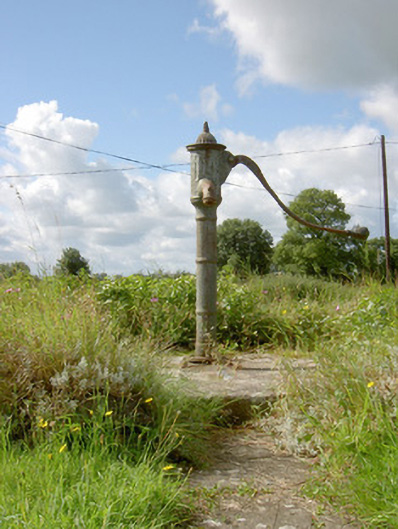 water pumpwater pump · 790 yd
 Hachured FortsFairy fort / earthen ringfort · 967 yd
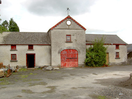 Sunfield Housefarmyard complex · 1196 yd
 European BeechEuropean Beech · 1.0 mi
 Pedunculate OakPedunculate Oak · 1.6 mi
 CastleCastle, motte · 1.8 mi
 Not locatedCastle, unclassified · 2.2 mi
 Abbeyshrule AbbeyRuins · 2.4 mi
 Goldsmith Birthplace, PallasVisitor information · 3.7 mi
 Newcastle WoodsForest · 4.1 mi
 Guest ServicesVisitor information · 4.3 mi
Other information
Photo: Credit not shown in the picture search · Rights wording not checked; contact us if this picture should be removed