
What is recorded here
At the E side of a field S of a lane close to a railway bridge. Known as ‘Park Chapel’. A roughly built wall (L 18m) projecting 3m from the E field fence and acting as a retaining wall for the slope above it. Midway along is an ‘altar’ flanked by pointed-arch recesses (H 1.1m; Wth 0.5m). A recess (Wth 0.25m; H 0.3m) built of quartz boulders with a stone tablet forming the door may have been used as a tabernacle. The stone tablet has an inscription which reads ‘ R C Chapel from 1772 to 1805’.
Compiled by: Mary Tunney
Date of upload: 18 June 2013
A local holy well or ritual site; wider significance not recorded.
The monument record does not grant public access. Check the route and ask the landowner before entering private land.
- What survives
- Recorded monument
Places near here
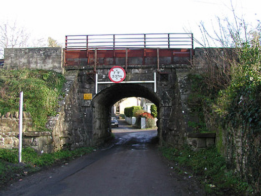 bridgebridge · 117 yd
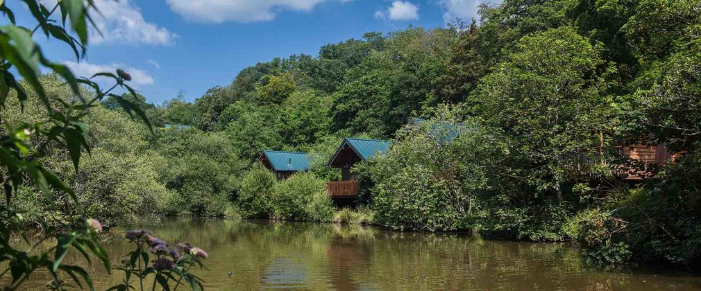 Deerpark Ringfort (rath)Archaeological place · 553 yd
 Mullinavat Railway Stationrailway station · 636 yd
 CastleCastle, unclassified · 1145 yd
 Clonassy WoodForest · 1225 yd
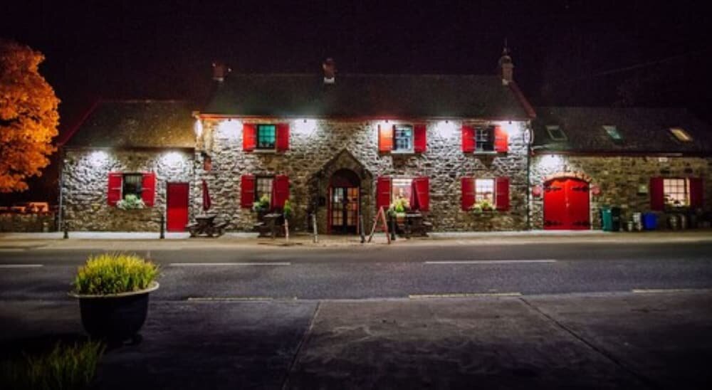 Enclosure in Garrandarragh (knocktopher By.)Enclosure · 1277 yd
 Poulanassy WaterfallWaterfall · 1.1 mi
 Rochestown Castle (Site of)Castle, unclassified · 1.7 mi
 Tory HillMountain / peak · 2.0 mi
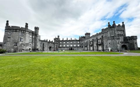 Ballynaboley WoodForest · 3.3 mi
 Portlaw Heritage CentreMuseum · 8.0 mi
 Tower HillMountain / peak · 8.0 mi
Other information
Photo: Credit not shown in the picture search · Rights wording not checked; contact us if this picture should be removed