
What is recorded here
Mullinavat Railway Station has finely dressed stone around windows blocked with plain cement. Most closed stations put up a notice; this one has submitted its resignation in concrete.
Detached three-bay single-storey Classical-style railway station, opened 1853, on a symmetrical T-shaped plan with pair of canted end bays having single-bay single-storey breakfronts, and single-bay single-storey lean-to lower bay to west. Closed, 1963. Possibly subsequently in residential use, post-1963. Now disused. Hipped slate roof (half-polygonal to end bays; lean-to to lower bay) with rolled lead ridges, rendered chimney stacks, and cast-iron rainwater goods on limestone ashlar eaves. Coursed rock-faced squared rubble stone walls with limestone ashlar dressings including quoins to corners, and band to eaves. Square-headed window openings with cut-limestone block-and-start surrounds having chamfered reveals (now blocked-up with unpainted cement render over). Square-headed door openings with cut-limestone block-and-start surrounds having chamfered reveals (now blocked-up with unpainted cement render over). Set perpendicular to road in own grounds with platform along front (east) elevation having random rubble stone retaining wall with cut-limestone coping.
A pleasantly-composed small-scale station representing a vital element of the architectural heritage of Mullinavat on account of the associations with the development of the Waterford and Maryborough [Portlaoise] Branch extension of the Great Southern and Western Railway line by the Waterford and Kilkenny Railway Company. Although now disused and with many of the fittings having been removed the survival of most of the original composition attributes maintains some of the integrity of the site. Constructed juxtaposing rock-faced rubble stone with ashlar accents displaying high quality stone masonry the station makes a pleasing impression on the visual appeal of the street scene.
From the Buildings of Ireland (National Inventory of Architectural Heritage) record 12326010
This does not grant access. Most recorded buildings are privately owned; view them only from public ground unless the owner allows entry.
Places near here
Photo credits
- National Inventory of Architectural Heritage
- Martin Richard Phelan, Geograph · CC BY-SA 2.0
- Humphrey Bolton, Geograph · CC BY-SA 2.0
- A.-K. D., Wikimedia Commons · CC BY-SA 4.0
- Willow, Wikimedia Commons · CC BY 2.5
- Blimey74, Wikimedia Commons · CC0
- David Dixon, Geograph · CC BY-SA 2.0
- Wendy Cutler, Wikimedia Commons · CC BY 2.0
- kevin higgins, Geograph · CC BY-SA 2.0
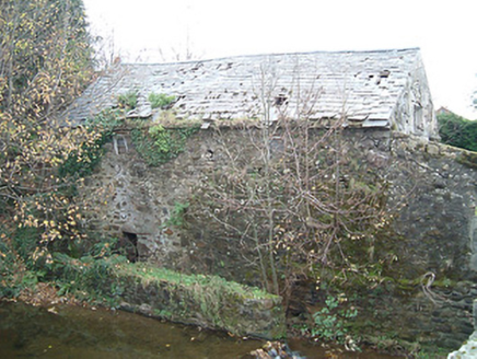 mill (water)169 yd
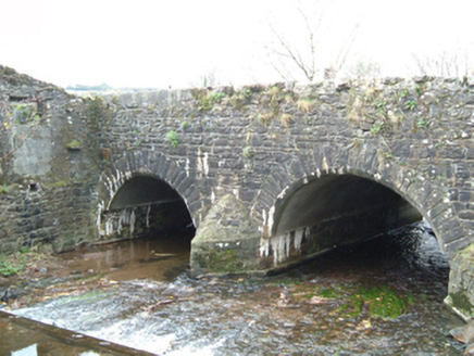 Park BridgeBridge · 187 yd
 Poulanassy WaterfallWaterfall · 1.1 mi
 Tory HillMountain / peak · 2.2 mi
 St. Lukes WellHoly well · 2.3 mi
 Stone row in Smithstown (knocktopher By., Jerpoint West Ed)Stone row · 3.4 mi
 Common Alder5.1 mi
 Corluddy Castle (in Ruins)Castle, tower house · 7.0 mi
 CastleCastle, unclassified · 8.5 mi
 Sargent's magnolia8.6 mi
 Knockroe Passage TombVisitor information · 11 mi
 The SpoutSpring · 13 mi
More historic places in County Kilkenny · All of County Kilkenny
What do you know about this place?