What is recorded here
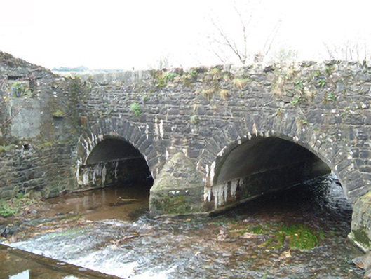
Park Bridge in Glendonnell meets the river with a pointed stone cutwater, dividing it between two arches. Even the water has to split up before it can get through Mullinavat. ‘You take that one. We’ll discuss your mother downstream.’
Two-arch road bridge over river, extant 1839. Coursed rubble limestone walls centred on triangular cutwater to pier to upriver (east) elevation having pyramidal capping with concrete (south) or rubble stone (north) coping to parapets. Pair of segmental arches with lichen-spotted cut-limestone voussoirs. Sited spanning river.
A bridge representing an integral component of the civil engineering heritage of Mullinavat with the architectural value of the composition suggested not only by the rough cut limestone dressings demonstrating good quality workmanship, but also by the elegant "sweep" of the arches making a pleasing visual statement at a crossing over a tributary of the Black River.
From the Buildings of Ireland (National Inventory of Architectural Heritage) record 12326017
This does not grant access. Most recorded buildings are privately owned; view them only from public ground unless the owner allows entry.
Places near here
Photo credits
- National Inventory of Architectural Heritage
- Martin Richard Phelan, Geograph · CC BY-SA 2.0
- A.-K. D., Wikimedia Commons · CC BY-SA 4.0
- Humphrey Bolton, Geograph · CC BY-SA 2.0
- Willow, Wikimedia Commons · CC BY 2.5
- Blimey74, Wikimedia Commons · CC0
- David Dixon, Geograph · CC BY-SA 2.0
- Wendy Cutler, Wikimedia Commons · CC BY 2.0
- kevin higgins, Geograph · CC BY-SA 2.0
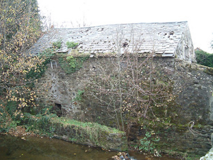 mill (water)19 yd
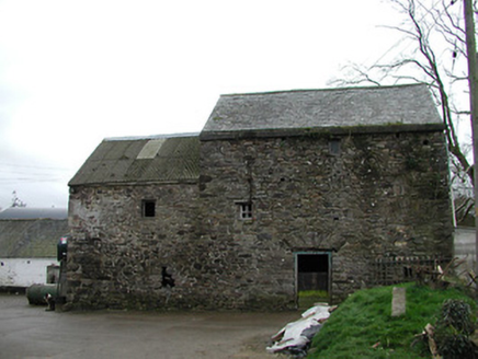 mill (water)169 yd
 Poulanassy WaterfallWaterfall · 1.1 mi
 St. Lukes WellHoly well · 2.2 mi
 Tory HillMountain / peak · 2.3 mi
 Stone row in Smithstown (knocktopher By., Jerpoint West Ed)Stone row · 3.4 mi
 Common Alder5.0 mi
 Corluddy Castle (in Ruins)Castle, tower house · 7.1 mi
 CastleCastle, unclassified · 8.6 mi
 Sargent's magnolia8.7 mi
 Knockroe Passage TombVisitor information · 11 mi
 The SpoutSpring · 13 mi
More historic places in County Kilkenny · All of County Kilkenny
What do you know about this place?