What is recorded here
Situated on a slightly undulating landscape with, with a W-E section of the Nanny River on the S side of a collection of barrows and enclosures but the river turns NNE to the E of the area. From 2016 Noel Meehan has been recording cropmark enclosures in the Keenoge area on a drone-mounted camera, and he has identified…
Read the whole record
Situated on a slightly undulating landscape with, with a W-E section of the Nanny River on the S side of a collection of barrows and enclosures but the river turns NNE to the E of the area. From 2016 Noel Meehan has been recording cropmark enclosures in the Keenoge area on a drone-mounted camera, and he has identified this concentration of barrows and enclosures in Deenes townland. This circular enclosure (diam. c. 15m) is defined by a single fosse feature and has a large pit or quarry in the centre. It is also depicted as a tree-ring on the 1836 and 1908 editions of the OS 6-inch map, and on the W side it is connected with a N-S relict NNE-SSW stream or drain. See the attached aerial view taken from the N, courtesy of Noel Meehan
Compiled by: Michael Moore
Date of upload; 15 August, 2018
From the National Monuments Service (Archaeological Survey of Ireland) record ME027-108007
Places near here
Photo credits
- Kieran Campbell, Geograph · CC BY-SA 2.0
- Kieran Campbell, Wikimedia Commons · CC BY-SA 2.0
- Heywood Sumner, Wikimedia Commons · Public domain
- Kieran Campbell, Geograph · Creative Commons Attribution-ShareAlike 2.0
- National Inventory of Architectural Heritage
- Alvesgaspar, Wikimedia Commons · CC BY-SA 3.0
- Malene Thyssen, Wikimedia Commons · CC BY-SA 3.0
- John M, Wikimedia Commons · CC BY-SA 2.0
- SeoR, Wikimedia Commons · CC BY-SA 4.0
- Tjp finn, Wikimedia Commons · CC BY-SA 4.0
 Athcarne CastleCastle, tower house · 1211 yd
 Athcarne CrossWayside cross · 1211 yd
 BarrowBarrow, unclassified · 1691 yd
 Grave YardGraveyard · 1.4 mi
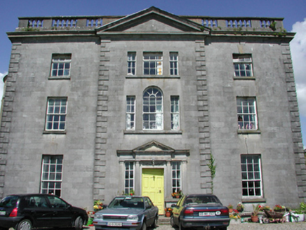 Duleek HouseCountry house · 1.6 mi
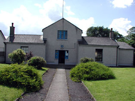 Duleek Garda Síochána StationRic barracks · 1.7 mi
 Common Lime1.8 mi
 European Beech3.1 mi
 Brú na Bóinne Visitors CentreVisitor information · 4.4 mi
 FourknocksPassage tomb · 4.6 mi
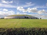 NewgrangeHeritage attraction · 4.7 mi
 CastleCastle, tower house · 5.2 mi
More archaeology and monuments in County Meath · All of County Meath

What do you know about this place?Tap to add a comment or ask a question