What is recorded here
In pasture, on a roughly E−W ridge, with excellent views. Ground falls away at N and S to wet rush-grown pasture. Boxed into the N corner of a field, which is bordered by a road.
A circular enclosure (diam. c. 20m) is shown on the 1838 OS 6-inch map; it is depicted on the 1916 edition as a small subrectangular field, gently curving on the E side.
The remains consist of a slightly raised area (c. 19m E−W; 18.5m N−S) defined at NE by a low curving scarp (H 0.5m); at E−NW the scarp is incorporated into a field wall (H 0.65m) that more or less respects the original curve of the enclosure, but tends to be linear at SE and W producing an overall subrectangular plan. A farm track impinges on the scarp NW−NNE. The interior is level, grassy with a few hawthorn bushes. Some large stones are piled at the base of a hawthorn tree in the S half of the interior, and a large boulder lies in the SE quadrant.
Compiled by: Jane O’Shaughnessy
Date of upload: 27 October 2022
The monument record does not grant public access. Check the route and ask the landowner before entering private land.
- What survives
- Recorded monument
Places near here
 Enclosure in Garraun (costello By.)Enclosure · 1.2 mi
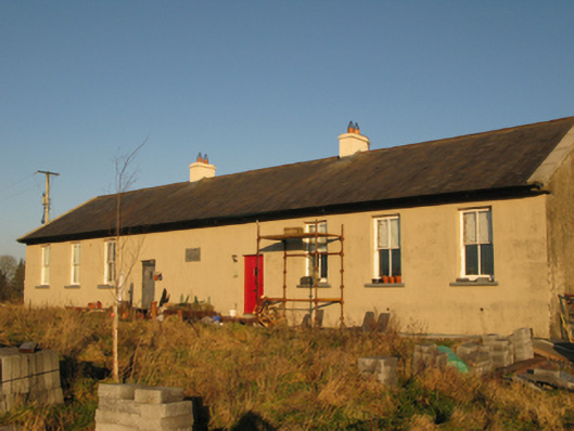 Saint Joseph's National Schoolschool · 1.2 mi
 Enclosure in DevlisEnclosure · 1.5 mi
 Ballyhaunis Railway Stationbuilding misc · 1.7 mi
 CastleCastle, unclassified · 4.6 mi
 Slieve DartMountain / peak · 5.1 mi
 Rath Castle in ruinsCastle, tower house · 7.8 mi
 East Mayo Brigade MonumentMemorial · 9.6 mi
 Oak WoodForest · 10 mi
 European ashEuropean ash · 15 mi
 Mass RockNamed rock · 17 mi
 bridgebridge · 1.8 mi