What is recorded here
In pasture on a shoulder at the E-facing foothills of the Comeragh Mountains. Only part of the original enclosing bank survives as a scarp (C 21.5m; Wth 3m; H 1.4m) at N where it is utilised as a field bank.
From the National Monuments Service (Archaeological Survey of Ireland) record WA006-001
The monument record does not grant public access. Check the route and ask the landowner before entering private land.
- What survives
- Recorded monument
Places near here
IndicatedFairy fort / earthen ringfort · 316 yd KnockanaffrinMountain / peak · 1.1 miKnocksheegownaMountain / peak · 1.5 miKnocknacreha HouseFarm house · 2.5 miCatholic Church of the Sacred Heart of JesusChurch/chapel · 2.7 miCoumshingaunMountain corrie and lake · 3.5 miPedunculate Oak4.2 miMahon FallsWaterfall · 4.3 miGiant Sequoia4.5 miMahon ValleyCliff · 4.5 miCastle (in ruins)Castle, tower house · 4.6 miGurteen CastleCastle · 4.7 mi
 KnockanaffrinMountain / peak · 1.1 mi
 KnocksheegownaMountain / peak · 1.5 mi
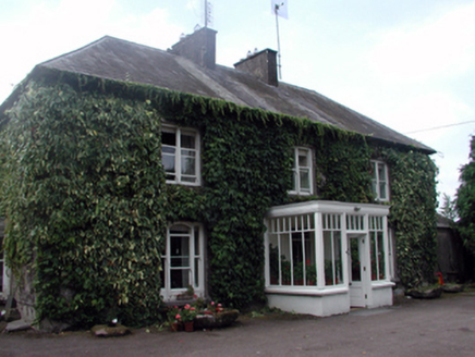 Knocknacreha HouseFarm house · 2.5 mi
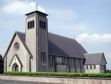 Catholic Church of the Sacred Heart of JesusChurch/chapel · 2.7 mi
 CoumshingaunMountain corrie and lake · 3.5 mi
 Pedunculate Oak4.2 mi
 Mahon FallsWaterfall · 4.3 mi
 Giant Sequoia4.5 mi
 Mahon ValleyCliff · 4.5 mi
 Castle (in ruins)Castle, tower house · 4.6 mi
 Gurteen CastleCastle · 4.7 mi
Pictures: Colin Park, Geograph · CC BY-SA 2.0; National Inventory of Architectural Heritage; Kevin O'Brien 13, Wikimedia Commons · CC BY-SA 4.0; Algirdas at Lithuanian Wikipedia, Wikimedia Commons · Public domain; Rwxrwxrwx at English Wikipedia, Wikimedia Commons · Public domain; Mike Murphy ( talk · contribs ), Wikimedia Commons · CC BY-SA 3.0; kevin higgins, Geograph · CC BY-SA 2.0; Irishtree, Wikimedia Commons · CC BY-SA 4.0
More archaeology and monuments in County Waterford · All of County Waterford
What do you know about this place?