What is recorded here
On a poorly drained marshy W-facing slope of rising ground in upland area. This possible enclosure is not visible at ground level. Though this is an unlikely location for an archaeological monument, a roughly circular enclosure (diam. c. 15m) is depicted on the 1st ed. (1840) OS 6-inch map.
From the National Monuments Service (Archaeological Survey of Ireland) record TS039-015
The monument record does not grant public access. Check the route and ask the landowner before entering private land.
- What survives
- Recorded monument
Places near here
Photo credits
- National Inventory of Architectural Heritage
- Wanfried-Dublin, Wikimedia Commons · CC BY-SA 4.0
- Mike Searle, Geograph · CC BY-SA 2.0
- Liam Hughes from Milwaukee, WI, USA, Wikimedia Commons · CC BY 2.0
- Sarah777, Wikimedia Commons · Public domain
- Antony Dixon, Wikimedia Commons · CC BY-SA 2.0
- Oliver Dixon, Geograph · Creative Commons Attribution-ShareAlike 2.0
- Discover Lough Derg, Wikimedia Commons · CC BY-SA 2.0
- JP, Geograph · CC BY-SA 2.0
- Deadstar, Wikimedia Commons · CC BY-SA 3.0
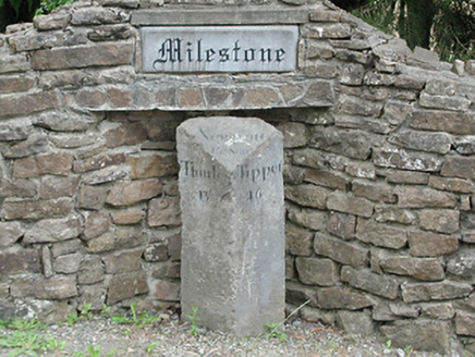 milestone/milepost1.2 mi
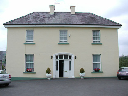 presbytery/parochial/curate's house1.7 mi
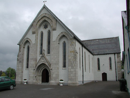 Saint Patrick's Catholic ChurchChurch/chapel · 1.7 mi
.jpg/250px-KnockcurraghbolanCommons-TN39-009_(4).jpg "Photo: Wanfried-Dublin, Wikimedia Commons · CC BY-SA 4.0") Wedge tomb in Knockcurraghbola CommonsWedge tomb · 2.3 mi
Wedge tomb in Knockcurraghbola CommonsWedge tomb · 2.3 mi Bawn in Cullahill (glenkeen Par.)Bawn · 6.9 mi
 Castle OtwayCastle, tower house · 7.2 mi
 Keeper HillMountain / peak · 8.1 mi
 Slieve FelimMountain / peak · 8.2 mi
 TobermurraghHoly well · 17 mi
Explorer Tom Tobermurragh, Knockyclovaun: Named after Brian Boru’s son Murragh, tradition says he was baptised here, and the red brick enclosure marks this historic well.
.jpg/250px-Brian_Boru's_Fort_(51357382309).jpg "Photo: Discover Lough Derg, Wikimedia Commons · CC BY-SA 2.0") Brian Boru FortHeritage attraction · 17 mi
Brian Boru FortHeritage attraction · 17 mi Crow IslandIslet · 19 mi
 Inishcaltra or Holy IslandIslet · 22 mi
More archaeology and monuments in County Tipperary · All of County Tipperary
What do you know about this place?