
What is recorded here
Indicated stood on a west-facing Galway slope as a forty-metre circular enclosure until mid-1960s reclamation levelled it into ordinary soil. Maps caught its shrinking ghost across decades, recording a complete ring before reducing it to a fragmented north-western shadow. The fort disappeared not through disaster but human impatience, erased to make the land yield more grain. What remains is an absence shaped like a circle, visible only in the memory of surveys and the smoothed earth where its boundary once bit into the hill.
On W-facing slope of a low hill. Marked on 1st ed. of OS 6-inch map as a circular enclosure (D c. 40m) but on 3rd ed. (1932) only NW sector appears. According to local information, the monument was levelled in the mid-1960s during land reclamation, along with an enclosure (GA058-053----).
The above description is derived from the published 'Archaeological Inventory of County Galway Vol. II - North Galway'. Compiled by Olive Alcock, Kathy de hÓra and Paul Gosling (Dublin: Stationery Office, 1999).
Date of upload: 05 August 2010
The monument record does not grant public access. Check the route and ask the landowner before entering private land.
- What survives
- Recorded monument
Places near here
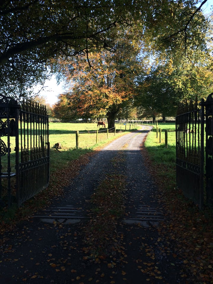 IndicatedFairy fort / ringfort · 155 yd
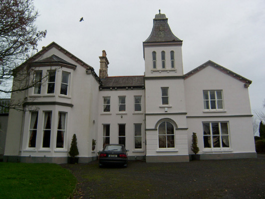 Crumlin Parkcountry house · 598 yd
 SycamoreSycamore · 653 yd
 Enclosure in Ballynamona (abbey West Ed),crumlinEnclosure · 704 yd
 Common WhitebeamCommon Whitebeam · 705 yd
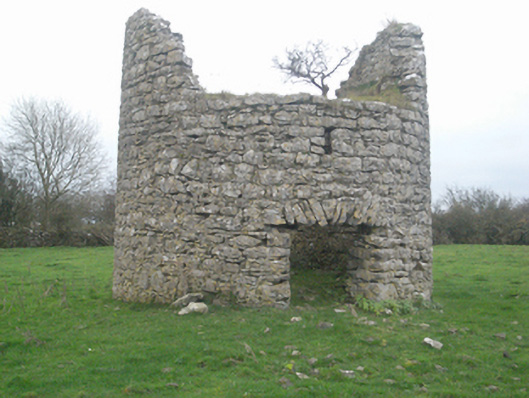 mill (wind)mill (wind) · 951 yd
 Castle FrenchCastle, unclassified · 1031 yd
 CashlaundarraghCastle · 2.2 mi
 Knockmoy AbbeyHeritage attraction · 3.0 mi
 Mass RockNamed rock · 11 mi
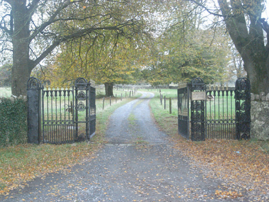 Crumlin Park Housegate lodge · 1038 yd
 CahershanemaguireFairy fort / stone ringfort · 1043 yd
Other information
Photo: Credit not shown in the picture search · Rights wording not checked; contact us if this picture should be removed