What is recorded here
Some 100m SSW of an earthwork (GA058-052----). Marked on 3rd ed. of OS 6-inch map (1932) as a circular enclosure (D c. 40m). The site was levelled in the mid-1960s during land reclamation and no visible surface trace survives.
The above description is derived from the published 'Archaeological Inventory of County Galway Vol. II - North Galway'. Compiled by Olive Alcock, Kathy de hÓra and Paul Gosling (Dublin: Stationery Office, 1999).
Date of upload: 05 August 2010
The monument record does not grant public access. Check the route and ask the landowner before entering private land.
- What survives
- Recorded monument
Places near here
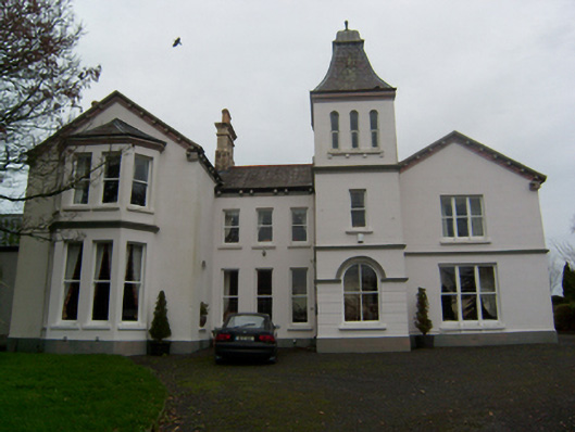 Crumlin Parkcountry house · 516 yd
 SycamoreSycamore · 570 yd
 Common WhitebeamCommon Whitebeam · 640 yd
 Enclosure in Ballynamona (abbey West Ed),crumlinEnclosure · 838 yd
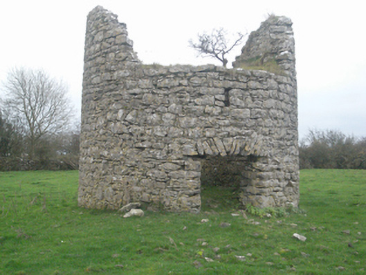 mill (wind)mill (wind) · 851 yd
 Castle FrenchCastle, unclassified · 901 yd
 CahershanemaguireFairy fort / stone ringfort · 1177 yd
 CashlaundarraghCastle · 2.3 mi
 Knockmoy AbbeyHeritage attraction · 3.1 mi
 Mass RockNamed rock · 11 mi
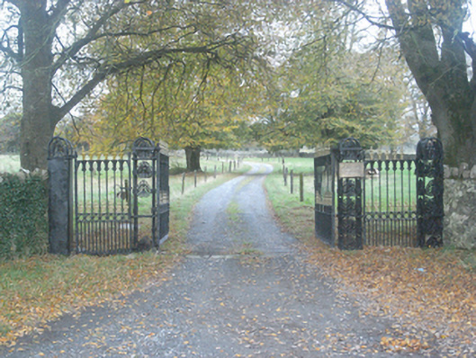 Crumlin Park Housegate lodge · 924 yd
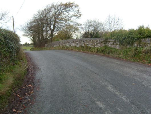 bridgebridge · 1257 yd
Other information
Photo: Credit not shown in the picture search · Rights wording not checked; contact us if this picture should be removed