
What is recorded here
Cahershanemaguire is a ruined circular cashel in Galway grassland, its stone wall buried under grass and hidden beneath a later field boundary. The fort is fifty metres across, with an entrance gap on the east and no visible trace from the north to east-northeast. It is the kind of place where human life disappeared so completely that the land itself forgot the shape of the building.
In undulating grassland. Poorly preserved circular cashel (D c. 50m) defined by a grassed-over drystone wall, no visible surface trace of which survives from N to ENE. The enclosing element is overlain throughout by a field wall. There is an entrance gap at E.
The above description is derived from the published 'Archaeological Inventory of County Galway Vol. II - North Galway'. Compiled by Olive Alcock, Kathy de hÓra and Paul Gosling (Dublin: Stationery Office, 1999).
Date of upload: 05 August 2010
The monument record does not grant public access. Check the route and ask the landowner before entering private land.
- What survives
- Recorded monument
Places near here
 Enclosure in Ballynamona (abbey West Ed),crumlinEnclosure · 981 yd
 IndicatedFairy fort / ringfort · 1043 yd
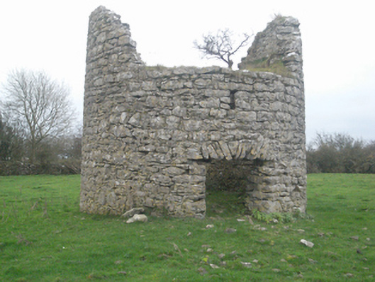 mill (wind)mill (wind) · 1550 yd
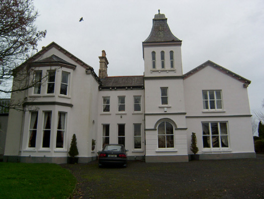 Crumlin Parkcountry house · 1620 yd
 SycamoreSycamore · 1674 yd
 Common WhitebeamCommon Whitebeam · 1700 yd
 Castle FrenchCastle, unclassified · 1.0 mi
 CashlaundarraghCastle · 1.8 mi
 Knockmoy AbbeyHeritage attraction · 2.5 mi
 Mass RockNamed rock · 11 mi
 bridgebridge · 1.1 mi
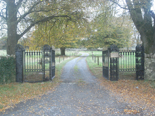 Crumlin Park Housegate lodge · 1.2 mi
Other information
Photo: Credit not shown in the picture search · Rights wording not checked; contact us if this picture should be removed