What is recorded here
Monument surveyed in 2015 and described by McGuinness (2015, 49) as following: ‘Roughly circular, dome-shaped mound (Diam. 7.7m N-S x 7.0m E-W) with flattened apex that is approximately level, located on summit of NW-SE ridge which falls away to SE, such that NW side of barrow is much lower (H. 0.45m) and less massive than SE side (H. 0.85m). Stumps of trees were observed on the surface of the mound by an ASI fieldworker on 17/5/83. The same account tentatively identifies this monument as a ‘small bowl barrow’ [SMR file], but, although the site was covered in thick grass when the present survey-team examined it, the absence of any clear evidence for a ditch must, at the level of surface inspection, render it a mound-barrow. In addition to slope of upper surface of ridge on which barrow is sited (see above), land drops away sharply on either side of ridge to NE and SW; but for trees, visibility would be best to S’.
Compiled by: Caimin O'Brien based on details provided by David McGuinness.
Date of upload: 8 February 2016
The monument record does not grant public access. Check the route and ask the landowner before entering private land.
- What survives
- Recorded monument
Places near here
 European YewEuropean Yew · 1165 yd
 Persian WalnutPersian Walnut · 1292 yd
 Chapel in Crowinstown GreatChapel · 1585 yd
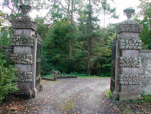 Ballinlough Castledemesne walls/gates/railings · 1701 yd
 Settlement desertedSettlement deserted, medieval · 1.1 mi
 OutlinedFairy fort / earthen ringfort · 1.2 mi
 Dervotstown CastleCastle · 1.3 mi
 Clonarney Church (in Ruins)Castle, tower house · 1.5 mi
 Drewstown LittleMountain / peak · 3.9 mi
 FraineMountain / peak · 4.5 mi
 Causey FarmHeritage attraction · 5.4 mi
 FarmaphobiaHeritage attraction · 5.4 mi