
What is recorded here
Situated in grassland with Stoneyford River 50m to E. The townland boundaries with Robinstown Great and Robinstown Little adjoin the W & N sides of the earthwork complex respectively. The Stoneyford River forms the E boundary of the site. This is a series of earthworks, rectangular enclosures, banks & fosses (max. dims. 180m N-S; 130m E-W) enclosing an area of 2 hectares. In the NW corner of the complex there is a square shaped earthen platform (dims. 14m), and adjoining this at E there is a rectangular platform (dims. 22m N-S; 30m E-W) enclosed by a shallow fosse and outer bank. To the S of these enclosures are three rectangular fields or small paddocks enclosed by earthen banks, with a raised track way, running NE-SW along the S perimeter. On the W of this earthwork is a shallow U-shaped ditch (Wth 4.3m) with outer banks (H 0.7m) which runs to S, then turns E to meet the River Stoneyford which may be the remains of a possible mill race or water drainage ditch. This encloses an area of cultivation ridges aligned E-W. Some of the features in this field may be related to post-1700 drainage while others may be associated with possible settlement.
Compiled by: Frank Coyne and Caimin O'Brien
Date of upload: 17 May 2017
The monument record does not grant public access. Check the route and ask the landowner before entering private land.
- What survives
- Recorded monument
Places near here
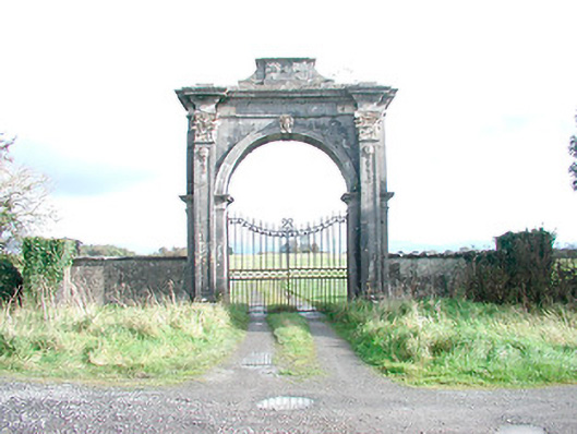 Rosmead Housedemesne walls/gates/railings · 670 yd
 Clonarney Church (in Ruins)Castle, tower house · 1427 yd
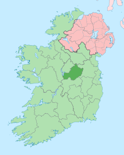 Not idnicatedEcclesiastical enclosure · 1447 yd
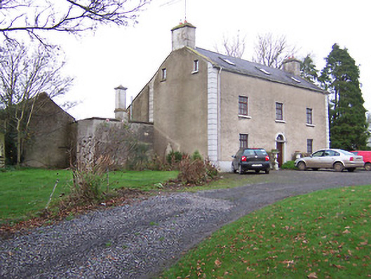 Clonmaskill Househouse · 1574 yd
 OutlinedFairy fort / earthen ringfort · 1.0 mi
 IndicatedCastle, motte · 1.5 mi
 European YewEuropean Yew · 1.7 mi
 Persian WalnutPersian Walnut · 1.8 mi
 Kells HillMountain / peak · 4.9 mi
 Drewstown LittleMountain / peak · 4.9 mi
 Zip WireHeritage attraction · 8.3 mi
 LoughcrewMegalithic tomb cemetery · 8.5 mi
Other information
Photo: Credit not shown in the picture search · Rights wording not checked; contact us if this picture should be removed