What is recorded here
Possible ecclesiastical enclosure associated with Clonarney graveyard identified by Swan (1988, 11) who recorded that there was evidence of a possible enclosure in the circular form of the boundary wall of the graveyard (WM009-034003-). Clonarney Castle ruins (WM009-034001-) stand in the centre of the graveyard.
From the National Monuments Service (Archaeological Survey of Ireland) record WM009-034004
The monument record does not grant public access. Check the route and ask the landowner before entering private land.
- What survives
- Recorded monument
Places near here
Photo credits
- National Inventory of Architectural Heritage
- Brian Shaw, Wikimedia Commons · CC BY-SA 2.0
- Gavigan, Wikimedia Commons · CC BY-SA 3.0
- Sitomon, Wikimedia Commons · CC BY-SA 2.0
- surrealpenguin, Wikimedia Commons · CC BY-SA 2.0
- Kieran Campbell, Geograph · Creative Commons Attribution-ShareAlike 2.0
- John M, Wikimedia Commons · CC BY-SA 2.0
 Rosmead HouseCountry house · 653 yd
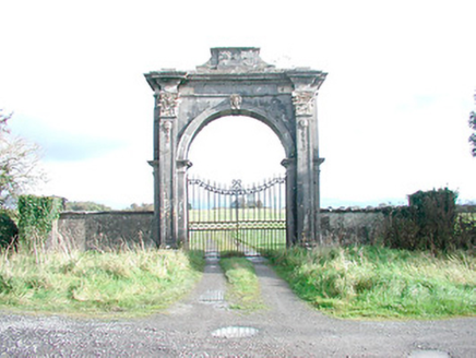 Rosmead HouseDemesne walls/gates/railings · 976 ydSettlement desertedSettlement deserted, medieval · 1447 yd
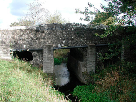 Graulty's BridgeBridge · 1.1 mi
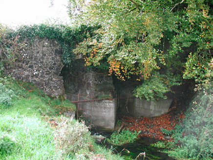 Snipe's BridgeBridge · 1.3 mi
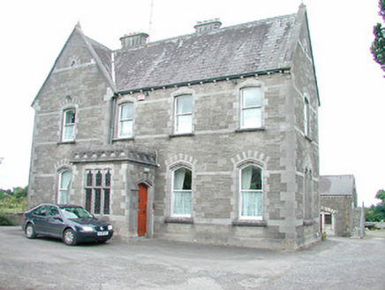 Catholic Church of the AssumptionPresbytery/parochial/curate's house · 1.5 mi
 CastleCastle, tower house · 1.8 mi
 Clonyn CastleCastle · 1.8 mi
 European Yew1.9 mi
 Persian Walnut2.0 mi
 Fairy fort / earthen ringfort in ReynellaFairy fort / earthen ringfort · 5.9 mi
 LoughcrewMegalithic tomb cemetery · 7.7 mi
More archaeology and monuments in County Westmeath · All of County Westmeath
What do you know about this place?