
What is recorded here
Situated on top of a slight natural rise surrounded by gently undulating grassland in the landscaped demesne of Ballinlough Castle (WM009-047----) located 630m to SW. Not depicted as an antiquity on the 1837 ed. OS 6-inch map but shown as a landscaped tree-ring feature. Ringfort (WM009-021----) 130m to NNE. The road which marks the townland boundary with Ballinlough townland is 35m to N. Present remains consist of a very large slightly raised circular-shaped area (approx. diam. 68m NE-SW; 66m NNW-SSE) enclosed by an earthen bank and a wide steep external fosse. The bank has been levelled and the fosse filled in from SW-W. In the SE quadrant of the interior a low mound (diam. 6m N-S; 5m E-W; H 0.8m) is visible. A field fence running NE-SW intersects the monument at SW. Possible ringfort that was converted into a tree-ring as part of the landscaping of the demesne lands associated with Ballnlough Castle. Alternatively this feature may have been constructed as a tree-ring in the post-1700 period as part of the landscaping of the demesne lands of Ballinlough Castle.
See attached profile of monument surveyed and drawn by the ASI.
Compiled by: Frank Coyne and Caimin O'Brien
Date of upload: 15 May 2017
The monument record does not grant public access. Check the route and ask the landowner before entering private land.
- What survives
- Recorded monument
Places near here
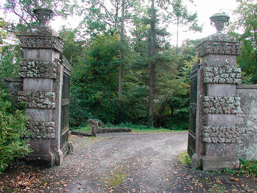 Ballinlough Castledemesne walls/gates/railings · 697 yd
 Persian WalnutPersian Walnut · 736 yd
 Dervotstown CastleCastle · 871 yd
 European YewEuropean Yew · 873 yd
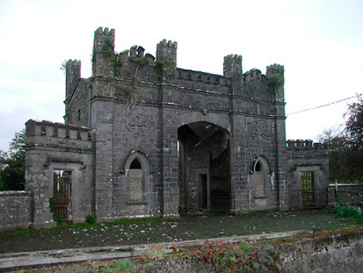 Killua Castlegate lodge · 1707 yd
 Enclosure in Heathstown (delvin By.)Enclosure · 1.1 mi
 Bawn in Heathstown (delvin By.)Bawn · 1.1 mi
 Enclosure in GreenanstownEnclosure · 2.1 mi
 Drewstown LittleMountain / peak · 2.7 mi
 FraineMountain / peak · 4.1 mi
 Causey FarmHeritage attraction · 4.3 mi
 FarmaphobiaHeritage attraction · 4.3 mi
Other information
Photo: Credit not shown in the picture search · Rights wording not checked; contact us if this picture should be removed