
What is recorded here
Situated on a rise on a gently undulating landscape. The cropmark of a subcircular area (dims c. 40m N-S; c. 37m E-W) defined by a slight fosse (Wth c. 2-3m) is visible on Apple Maps (2018). The perimeter might have been quarried (Wth c. 6m) at NW and in addition there is an external protuberance in the line of the ditch at SW. The enclosure is also visible on Google Images (24/03/2017, 18/06/2017) and OSI images (c. 2018), and it was first reported by Jean Charles Caillere.
See the attached enhanced image from Apple Maps
Compiled by: Michael Moore
Date of upload: 25 June 2021
The monument record does not grant public access. Check the route and ask the landowner before entering private land.
- What survives
- Recorded monument
Places near here
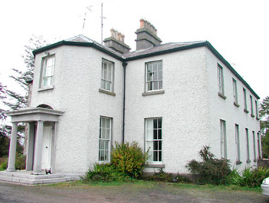 Heathstown Housecountry house · 1713 yd
 Bawn in Heathstown (delvin By.)Bawn · 1.1 mi
 Fort woodedFairy fort / earthen ringfort · 1.2 mi
 Enclosure in Heathstown (delvin By.)Enclosure · 1.2 mi
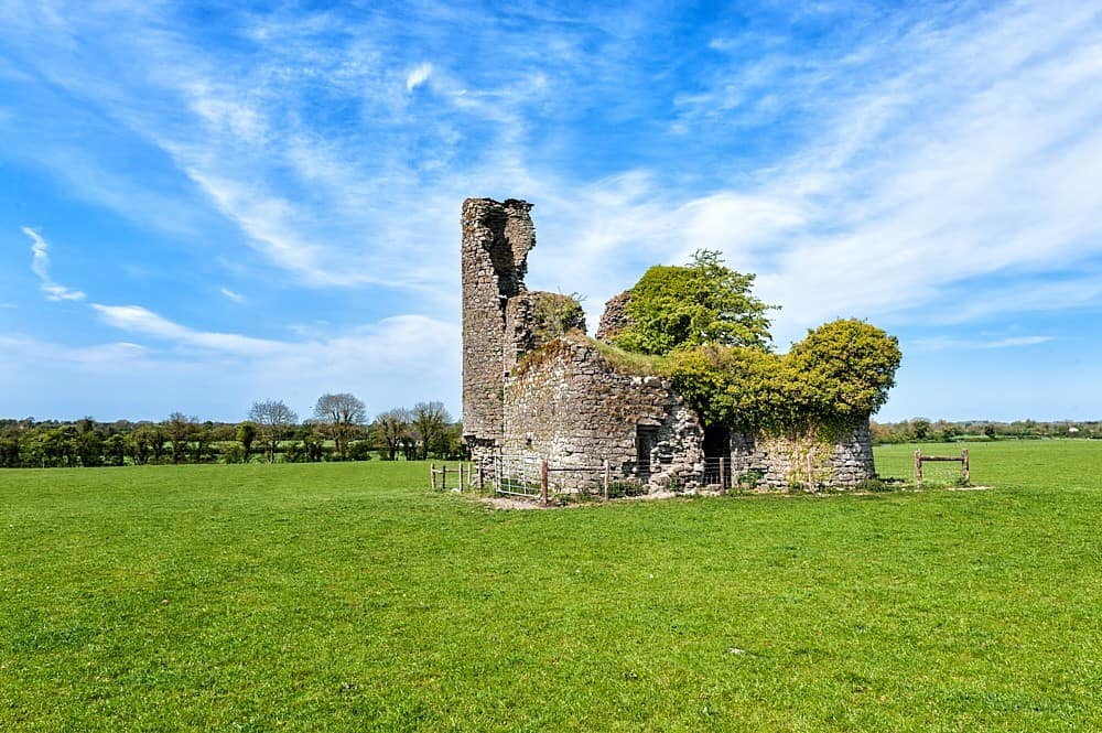 CastleCastle, tower house · 1.5 mi
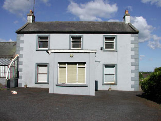 Castletown Housefarm house · 1.6 mi
 Moneen WoodWood · 2.2 mi
 Beggarbush WoodWood · 2.2 mi
 Drewstown LittleMountain / peak · 2.3 mi
 FraineMountain / peak · 2.3 mi
 FarmaphobiaHeritage attraction · 3.2 mi
 Causey FarmHeritage attraction · 3.2 mi
Other information
Photo: Credit not shown in the picture search · Rights wording not checked; contact us if this picture should be removed