
What is recorded here
Larkin's map of 1808 shows a ruin in the graveyard (WM014-009---) of Crowinstown Great (SMR file). The terrier of the Down Survey map of Castletown parish recorded that in 'Crowinstown there is the walls of a chappell of ease with a Corn Mill [WM014-011----] in repaire' (NLI Ms 723-4).
Present remains consist of a small semi-circular shaped graveyard enclosed from S-W, N & NNE by the remains of a low bank set on a scarp with a shallow external fosse at its foot. From NNE-E-S the graveyard is bounded by a stone wall with the roadway beyond it. In the N quadrant of the graveyard there is a scatter of stones, however there is no definite trace of wall footing of a possible chapel visible on the surface. The surrounding field has been under tillage & there is no trace of any earthworks here’ (ASI Field Report 28/10/1980).
Compiled by: Caimin O'Brien
Date of upload: 27 August 2018
This remains an important historical record, but the official description says the monument is no longer visible or has been destroyed. The monument record does not grant public access. Check the route and ask the landowner before entering private land.
- What survives
- No visible remains or recorded as destroyed
Places near here
 Corn MillMill, corn · 1098 yd
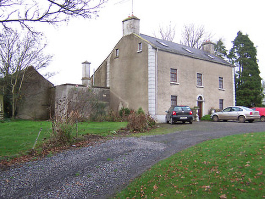 Clonmaskill Househouse · 1466 yd
 Settlement desertedSettlement deserted, medieval · 1.3 mi
 Dotted outlineFairy fort / ringfort · 1.3 mi
 European YewEuropean Yew · 1.4 mi
 Persian WalnutPersian Walnut · 1.4 mi
 Dervotstown CastleCastle · 1.7 mi
 Bawn in Heathstown (delvin By.)Bawn · 1.9 mi
 FraineMountain / peak · 4.0 mi
 Drewstown LittleMountain / peak · 4.3 mi
 Causey FarmHeritage attraction · 5.8 mi
 FarmaphobiaHeritage attraction · 5.8 mi
Other information
Photo: Credit not shown in the picture search · Rights wording not checked; contact us if this picture should be removed