
What is recorded here
Located at the crest of a S and E-facing slope overlooking the Diamond of Clones, which is to the SE and the site of St Tigearnach’s monastery (MO011-010001-) c. 300m to the S. The medieval parish church of Clones (MO011-010006-) is within an oval graveyard (dims c. 55m NW-SE; c. 35m NE-SW) defined by masonry walls, which has a subrectangular extension (dims c. 70m NE-SW: c. 20-35m NW-SE) off to the SW, which was established before 1835 (OS 6-inch map). The notorious and well-attested massacre of eighteen Scots settlers by hanging, which occurred in December, 1641 (Schlegel 1997, 86), was probably perpetrated in this graveyard. The headstone inscriptions dating from 1730 have been recorded (McMahon et al. 1983), and the datestone (MO011-010007-) is built into the inside of the perimeter wall at SE. Archaeological testing (06E0957) c. 20-150m NW of the graveyard produced no related material (Russell 2008). Archaeological monitoring (08E0358) of the reconstruction of a section (L 18m; ext. H 4m) of the graveyard wall at N recorded graveyard soil (D 1.4-1.8m) over natural. No archaeological features or artefacts were recorded, but the generally disarticulated human remains dislodged by the activity were re-buried in the graveyard (Campbell 2011).
Compiled by: Michael Moore
Date of upload: 29 November, 2016
Amended: 16 January 2020
A portal dolmen dating to the Neolithic period; its location near a significant early Christian site suggests possible ritual or symbolic landscape connections.
The monument record does not grant public access. Check the route and ask the landowner before entering private land.
- What survives
- Recorded monument
Places near here
 Saint Tighearnach's Church (Clones)church/chapel · 23 yd
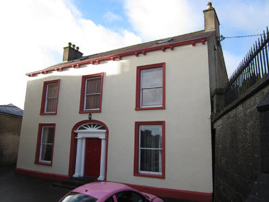 Lynch's Houserectory/glebe/vicarage/curate's house · 42 yd
 CrossCross, High cross · 80 yd
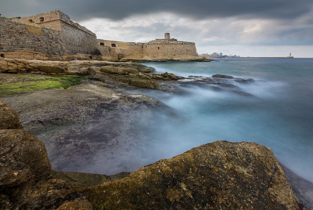 Bastioned fort in CrossmoyleBastioned fort · 102 yd
 CastleCastle, motte and bailey · 163 yd
 The Cassandra Hand CentreMuseum · 202 yd
 Bawn in CrossmoyleBawn · 210 yd
 Abbey RuinsHeritage attraction · 264 yd
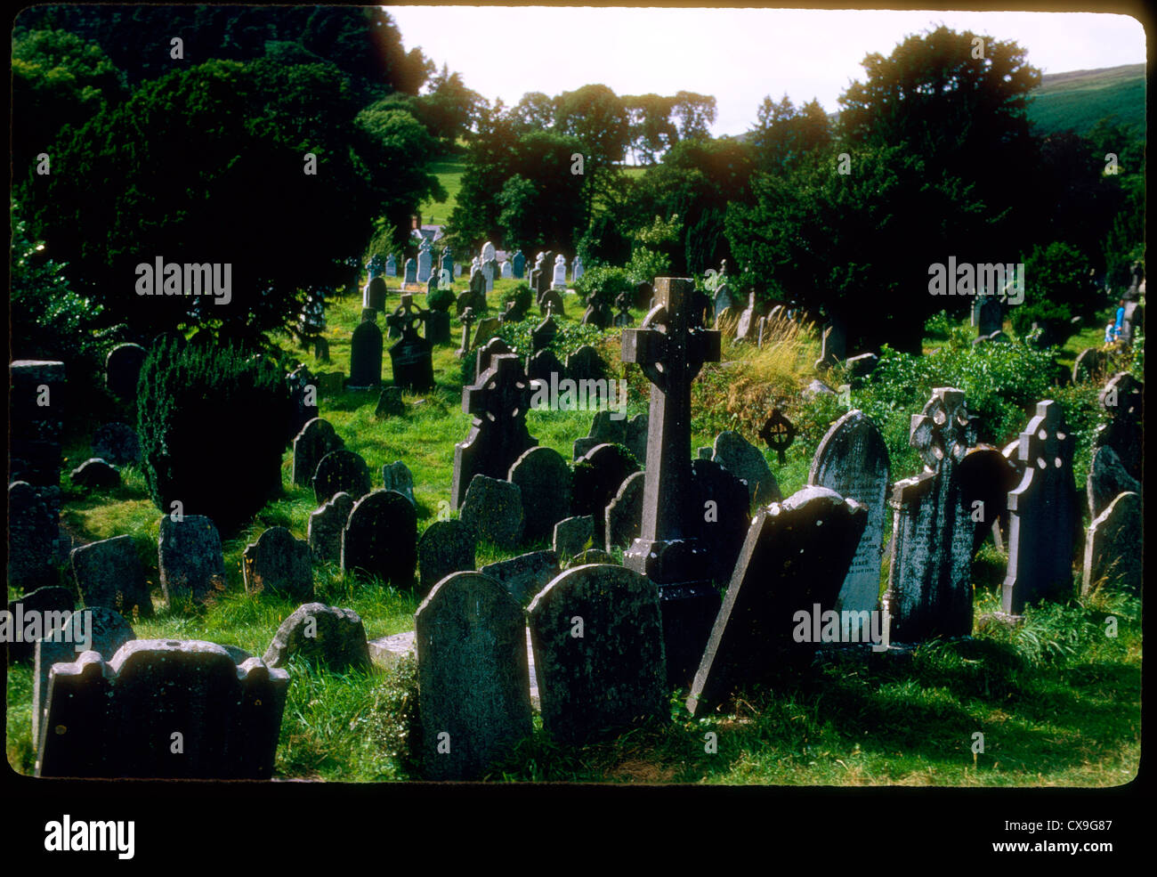 Clontivrin Grave YardArchaeological place · 1.1 mi
 European YewEuropean Yew · 1.7 mi
 Saint John's WellSpring · 2.1 mi
 KillycoonaghWood · 2.3 mi
Other information
Photo: Credit not shown in the picture search · Rights wording not checked; contact us if this picture should be removed