What is recorded here
On a low rise, known locally as 'Fort Hill', in pasture. Depicted as a roughly subrectangular tree-planted enclosure with the designation 'Fort' on the 1837 ed. of the OS 6-inch map. The trees have been cleared and the monument is not visible at ground level.
Compiled by: Patrick F. O'Donovan
Date of upload: 3 December 2011
A local fairy fort (ringfort/rath); wider significance not recorded.
The monument record does not grant public access. Check the route and ask the landowner before entering private land.
- What survives
- Recorded monument
Places near here
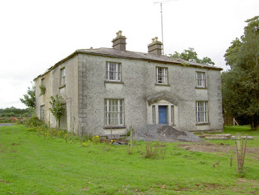 Danesforthouse · 492 yd
 Graveyard in Curry (ardagh By., Coolamber Ed)Graveyard · 574 yd
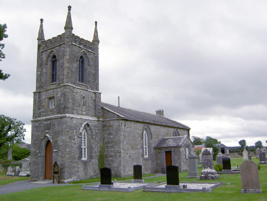 Saint Catherine's Church (Ballymacormick)church/chapel · 584 yd
 Enclosure in MountjessopEnclosure · 1285 yd
 IndicatedFairy fort / earthen ringfort · 1519 yd
 CastleCastle, tower house · 1.8 mi
 Bawn Castle & NunneryHouse, fortified house · 2.1 mi
 First World War MemorialMemorial · 2.7 mi
 Saint Mel's CathedralCathedral · 2.8 mi
 Commons North WalkVisitor information · 7.3 mi
 Wild birdsVisitor information · 7.4 mi
 White Sand WoodWood · 7.6 mi