What is recorded here
Situated on a slight rise in an undulating, low-lying landscape. This is a raised grass and scrub-covered circular area (diam. 50m NNE-SSW; H 2-2.3m) with a hedge on the perimeter which is defined by a flat-bottomed fosse (Wth 2.5-4m; ext. D 0.5m at S to 1.4m at N) SE-W-NE and skirted by a roadway NE-SE. The original entrance was not identified.
From the National Monuments Service (Archaeological Survey of Ireland) record LE025-101
Places near here
Photo credits
- National Inventory of Architectural Heritage
- Fifiheavey, Wikimedia Commons · CC BY-SA 4.0
- Oliver Dixon, Geograph · Creative Commons Attribution-ShareAlike 2.0
- Willow, Wikimedia Commons · CC BY 2.5
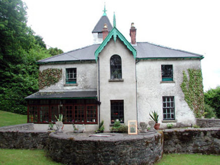 Lawderdale HouseCountry house · 1407 yd
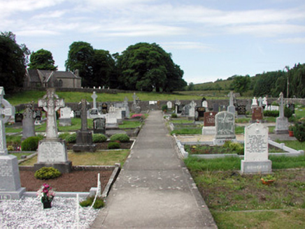 graveyard/cemetery1545 yd
 Graveyard1545 yd
 Buck IslandIsland · 3.0 miCrane IslandIslet · 3.1 miCastleCastle, tower house · 3.2 mi
 IndicatedGraveyard · 3.4 miDrumbadMountain / peak · 3.7 miCastleforeCastle, tower house · 3.9 miSwan Island pet farmHeritage attraction · 4.2 miCromlin Bridge WoodWood · 4.6 mi
 European ash5.1 mi
More archaeology and monuments in County Leitrim · All of County Leitrim
What do you know about this place?Tap to add a comment or ask a question