What is recorded here
This is depicted faintly as a rectangular area (dims. c. 45m NW-SE; c. 35m NE-SW) and described as ‘Site of fort’ on the 1839 ed. of the OS 6-inch map. It is situated on a SE-facing slope of the foothills of the Blackstairs Mountains. No feature is visible at ground level in pasture.
From the National Monuments Service (Archaeological Survey of Ireland) record WX018-006
The monument record does not grant public access. Check the route and ask the landowner before entering private land.
- What survives
- Recorded monument
Places near here
Photo credits
- National Inventory of Architectural Heritage
- kevin higgins, Geograph · CC BY-SA 2.0
- Darrin Antrobus, Wikimedia Commons · CC BY-SA 2.0
- Donald Hobern from Copenhagen, Denmark, Wikimedia Commons · CC BY 2.0
Embanked enclosureEnclosure · 447 yd Monksgrange HouseCountry house · 538 ydMonksgrange HouseGates/railings/walls · 764 ydIndicatedFairy fort / earthen ringfort · 1091 ydSlievebaunMountain / peak · 1.4 mi1798 MemorialMemorial · 1.8 miWhite MountainMountain / peak · 2.5 miRuin of a small castleRuins · 3.7 miEmbanked enclosureCastle, motte · 4.0 mi1798 RebellionMemorial · 4.6 miCoonogue WoodForest · 5.0 miSilver Wattle5.8 mi
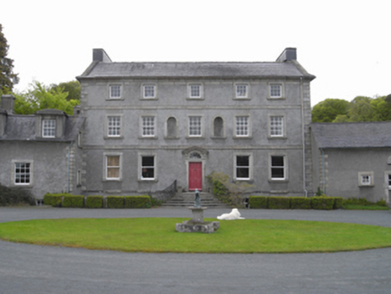 Monksgrange HouseCountry house · 538 yd
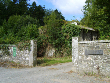 Monksgrange HouseGates/railings/walls · 764 ydIndicatedFairy fort / earthen ringfort · 1091 yd
 SlievebaunMountain / peak · 1.4 mi1798 MemorialMemorial · 1.8 miWhite MountainMountain / peak · 2.5 miRuin of a small castleRuins · 3.7 miEmbanked enclosureCastle, motte · 4.0 mi
 1798 RebellionMemorial · 4.6 miCoonogue WoodForest · 5.0 mi
 Silver Wattle5.8 mi
More archaeology and monuments in County Wexford · All of County Wexford
What do you know about this place?