What is recorded here
Marked as a sub-triangular embanked area (ext. dims. c. 100m NE-SW; c. 70m NW-SE at SW end) on the 1839 ed. of the OS 6-incgh map with the SW end incorporated into the townland boundary with Grange Upper. It is located on a gentle S-facing slope in the foothills of the Blackstairs Mountains. It ws described in the 1950s as an oval or sub-triangular enclosure (dims 75m NE-SW; 45m NW-SE) defined by earthen bank (SMR file). It may have been simply a field, and has been removed since 1955.
Marked as a sub-triangular embanked area (ext. dims. c. 100m NE-SW; c. 70m NW-SE at SW end) on the 1839 ed. of the OS 6-incgh map with the SW end incorporated into the townland boundary with Grange Upper. It is located on a gentle S-facing slope in the foothills of the Blackstairs Mountains. It ws described in the 1950s as an oval or sub-triangular enclosure (dims 75m NE-SW; 45m NW-SE) defined by earthen bank…
From the National Monuments Service (Archaeological Survey of Ireland) record WX018-014
This remains an important historical record, but the official description says the monument is no longer visible or has been destroyed. The monument record does not grant public access. Check the route and ask the landowner before entering private land.
- What survives
- No visible remains or recorded as destroyed
Places near here
Photo credits
- National Inventory of Architectural Heritage
- kevin higgins, Geograph · CC BY-SA 2.0
- Darrin Antrobus, Wikimedia Commons · CC BY-SA 2.0
- Donald Hobern from Copenhagen, Denmark, Wikimedia Commons · CC BY 2.0
IndicatedEnclosure · 447 yd Monksgrange HouseCountry house · 983 ydMonksgrange HouseGates/railings/walls · 1018 ydIndicatedFairy fort / earthen ringfort · 1290 ydSlievebaunMountain / peak · 1.6 mi1798 MemorialMemorial · 1.9 miWhite MountainMountain / peak · 2.3 miRuin of a small castleRuins · 3.7 miEmbanked enclosureCastle, motte · 3.8 mi1798 RebellionMemorial · 4.4 miCoonogue WoodForest · 5.2 miSilver Wattle5.6 mi
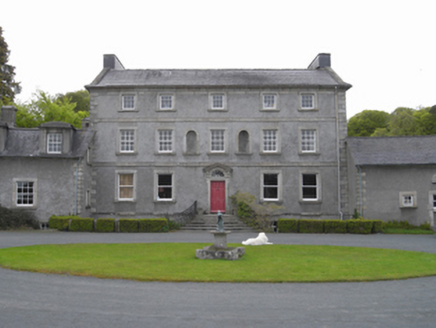 Monksgrange HouseCountry house · 983 yd
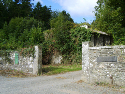 Monksgrange HouseGates/railings/walls · 1018 ydIndicatedFairy fort / earthen ringfort · 1290 yd
 SlievebaunMountain / peak · 1.6 mi1798 MemorialMemorial · 1.9 miWhite MountainMountain / peak · 2.3 miRuin of a small castleRuins · 3.7 miEmbanked enclosureCastle, motte · 3.8 mi
 1798 RebellionMemorial · 4.4 miCoonogue WoodForest · 5.2 mi
 Silver Wattle5.6 mi
More archaeology and monuments in County Wexford · All of County Wexford
What do you know about this place?