Places near here
Photo credits
- National Inventory of Architectural Heritage
- Willow, Wikimedia Commons · CC BY 2.5
- PAUL FARMER, Geograph · CC BY-SA 2.0
- JohnArmagh, Wikimedia Commons · Public domain
- Mike Searle, Wikimedia Commons · CC BY-SA 2.0
- SteveODowd, Wikimedia Commons · CC BY-SA 4.0
- EecherplazGinkgo06.jpg : Cayambe derivative work: Ginkgotree ( talk ), Wikimedia Commons · CC BY-SA 3.0
- Callanmurphy, Wikimedia Commons · CC BY-SA 4.0
- Colin Park, Geograph · CC BY-SA 2.0
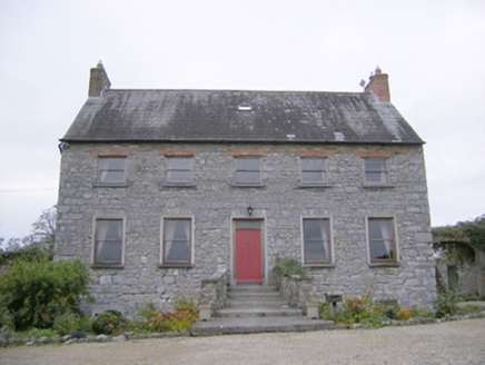 Tory Hill HouseCountry house · 196 yd
Explorer Tom Tory Hill House hears everything through its thin walls. It can hear the medieval church gossiping about the coach house, which is weird considering they're centuries apart in style. Tell it a joke, it's been waiting.
Hachured (1924).Fairy fort / earthen ringfort · 634 ydExplorer Tom (1924). in Corrabul is basically a ringfort that got tired of being famous and just stopped trying hard. It's got a very smug look about it, like it knows something you don't. Bring a camera and your most suspicious face.
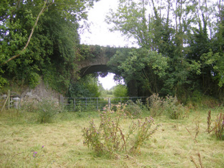 bridge1064 ydBiodiversity in the Maigue CatchmentVisitor information · 1.2 mi
 European ash1.3 mi
Explorer Tom European ash is thinking about what the builder was really thinking when they planted it here. It stands quietly in County Limerick, waiting for someone to notice its impressive height. Ideal for a moody photo you'll pretend wasn't posed.
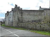 CastleCastle, Anglo-Norman masonry castle · 1.4 mi
 Monasteranenagh AbbeyHeritage attraction · 1.8 mi
 Fanningstown Castle (in ruins)Castle, tower house · 2.0 mi
Explorer Tom Fanningstown Castle holds the world record for the most confusing conversion from ruin to luxury B&B. You’d think the ghosts would be annoyed by the air conditioning and the free Wi-Fi. Bring a coin for luck and keep it in your pocket.
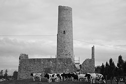 Dysert AenghusaHeritage attraction · 2.1 mi
 Ginkgo3.9 mi
Explorer Tom Ginkgo in County Limerick is secretly proud of a potato it planted in 1952 that never sprouted. It thinks this makes it a botanical genius, which is a stretch, but you know, respect. A good place to forget your phone for ten minutes.
 Franciscan AbbeyArchaeological place · 4.1 mi
 KnockfeerinaMountain / peak · 6.1 mi
More historic places in County Limerick · All of County Limerick

What do you know about this place?Tap to add a comment or ask a question