
What is recorded here
Indicated is a fairy fort or earthen ringfort in Corrabeg, County Roscommon, Ireland. The circular grass-covered area sits at the SW-facing crest of a broad hill and contains a complete earthen bank incorporated into a wider field bank. Facing stones appear SE-SW on the exterior, while the original SE entrance has widened and a larger gap opened at SW. A rath lies about 150m north and a standing stone about 60m east-southeast.
At the SW-facing crest of a broad hill. Circular grass-covered area (diam. 40.3m E-W; 40.2m N-S; 37.8m) defined by a complete earthen bank with some bushes (Wth 2.5-3m; int. H 0.2-0.3m; ext. H 0.4-0.6m), which is incorporated into a field bank (Wth 4.5m; int. H 0.8m; ext. H 1.5m) with external facing stones SE-SW. There is no visible fosse, while the original entrance (Wth 2.8m) at SE has been widened and a gap (Wth 9m) has been made at SW. Rath (RO028-040----) is c. 150m to the N and standing stone (RO028-228----) is c. 60m to the ESE.
Compiled by: Michael Moore
Date of upload: 24 August 2010
The monument record does not grant public access. Check the route and ask the landowner before entering private land.
- What survives
- Recorded monument
Places near here
 IndicatedFairy fort / earthen ringfort · 224 yd
 Enclosure in Ardkeenagh (plunkett)Enclosure · 465 yd
 Kilcooley Church (in Ruins)Church · 520 yd
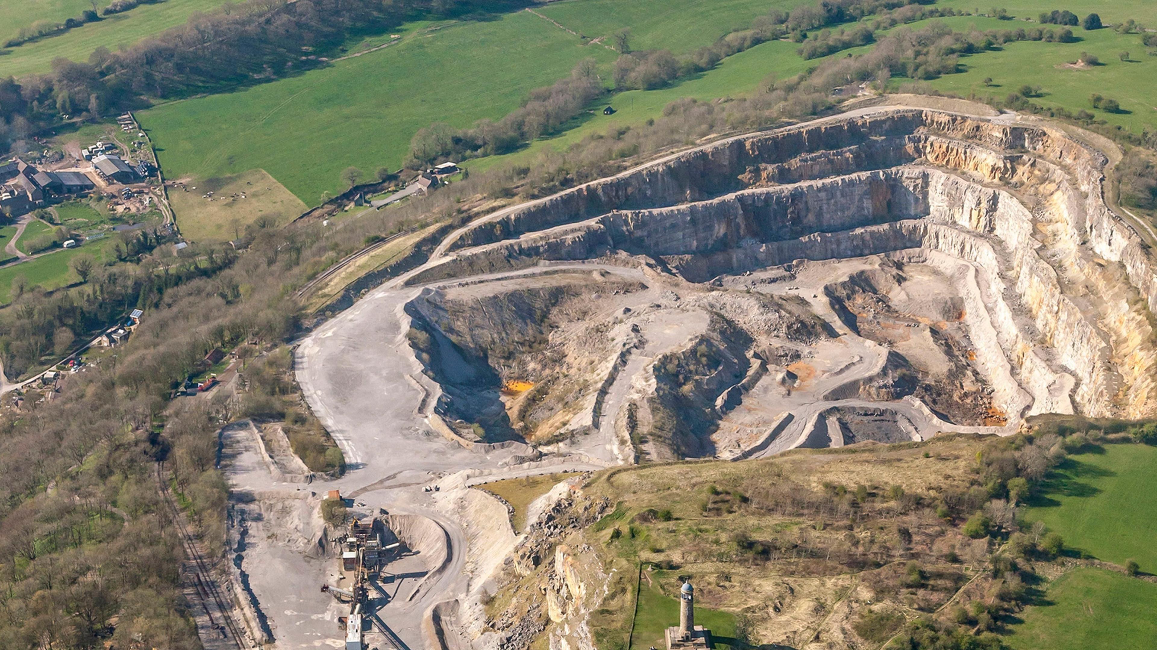 Quarry in Ardkeenagh (roscommon By.)Quarry · 1642 yd
 Cruachan Aí Heritage CentreMuseum · 1.9 mi
 CastleCastle, unclassified · 1.9 mi
 ToberagullaSpring · 2.7 mi
 European ashEuropean ash · 2.7 mi
 Leitrim CastleCastle, unclassified · 4.1 mi
 Sweet ChestnutSweet Chestnut · 4.4 mi
 Strokestown House GardensHeritage attraction · 4.6 mi
 Ballyclare IslandIslet · 11 mi
Other information
Photo: Credit not shown in the picture search · Rights wording not checked; contact us if this picture should be removed