What is recorded here
Situated on a low NW-SE ridge with Laurel Lough c. 100m to the NE at the nearest point. This is a circular grass-covered area (diam. 56m E-W; 55.5m N-S) defined by a slight earthen bank and hedge that is largely reduced to an external scarp (H c. 1.5-1.7m) with an outer fosse (Wth c. 2.7-3m; D 0.3-0.6m). There is an…
Read the whole record
From the National Monuments Service (Archaeological Survey of Ireland) record MO021-002
Places near here
Picture notes
- National Inventory of Architectural Heritage
- Sitomon, Wikimedia Commons · CC BY-SA 2.0
- Christian Pirkl, Wikimedia Commons · CC BY-SA 3.0 at
- Computer-made picture. It does not show this playground.
- Andreas F. Borchert, Wikimedia Commons · CC BY-SA 4.0
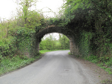 bridge1375 yd
Explorer Tom Bridge in Tullyhumphry has caught my eye in Tullyhumphry, County Monaghan. I bet a bridge with a name like that could keep me talking all afternoon; I'm already inventing a daft little scene for it, and I'll stop before it turns into history.
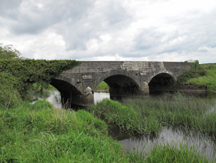 Annaghmullin BridgeBridge · 1491 yd
Explorer Tom Annaghmullin Bridge has caught my eye in Tullyhumphry, County Monaghan. I bet a bridge with a name like that could keep me talking all afternoon; I'm already inventing a daft little scene for it, and I'll stop before it turns into history.
 European Yew1694 yd
Explorer Tom A resilient European Yew in County Cavan, perhaps ancient and slow-growing, with dark green needles that stay lush through the harshest winters.
 SandhillsMountain / peak · 1701 yd
Explorer Tom Sandhills has caught my eye in County Monaghan. I bet a mountain / peak with a name like that could keep me talking all afternoon; I'm already inventing a daft little scene for it, and I'll stop before it turns into history.
CallowhillMountain / peak · 1.0 miExplorer Tom Callowhill has caught my eye in County Monaghan. I bet a mountain / peak with a name like that could keep me talking all afternoon; I'm already inventing a daft little scene for it, and I'll stop before it turns into history.
 Sycamore1.0 mi
Explorer Tom Another beautiful Sycamore in County Cavan, likely creating a vibrant canopy that filters sunlight into dappled patterns on the ground beneath it.
RuinsHouse, fortified house · 1.0 miExplorer Tom This fortified house hides in Redhill Demesne, featuring a bolt-hole doorway that surely kept out more than just drafts.
 The Village PlaygroundChildren's playground · 1.1 miComputer-made picture. It does not show this playground.
Explorer Tom I bet The Village Playground is the heart of local gossip, watched closely by every grandparent in County Cavan with a cup of tea.
 Children's playground2.2 miComputer-made picture. It does not show this playground.
Explorer Tom Children's playground has caught my eye in County Monaghan. I bet a children's playground with a name like that could keep me talking all afternoon; I'm already inventing a daft little scene for it, and I'll stop before it turns into history.
Bawn in KillyfanaBawn · 2.4 miExplorer Tom This bawn in Killyfana is basically gone, so let's imagine Richard Tyrell hiding a treasure map right under the spot where those banks once stood.
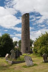 Round Tower5.4 mi
Explorer Tom Round Tower in Crossmoyle has caught my eye in Crossmoyle, County Monaghan. I bet a round tower with a name like that could keep me talking all afternoon; I'm already inventing a daft little scene for it, and I'll stop before it turns into history.
 Shrine in CrossmoyleShrine · 5.4 mi
Explorer Tom Shrine in Crossmoyle has caught my eye in Crossmoyle, County Monaghan. I bet a shrine with a name like that could keep me talking all afternoon; I'm already inventing a daft little scene for it, and I'll stop before it turns into history.
More archaeology and monuments in County Monaghan · All of County Monaghan
What do you know about this place?Tap to add a comment or ask a question