What is recorded here
Marked 'Fort' on OS 1836 and 1876 eds. Slightly raised circular area (int. diam. 31.7m) enclosed by a steep, narrow earthen bank extending in an arc from NW-S-SE. From SE it straightens and extends for a short distance to NNW. Not present from NW-N-NNE. This bank is similar in morphology to other field boundaries in the vicinity. Original entrance not recognisable. At the centre of the enclosed area is a small oval-shaped earthen mound (max. dims. 3.5m E-W; 2.5m N-S; max. H 0.25m) of unknown significance.
Marked 'Fort' on OS 1836 and 1876 eds. Slightly raised circular area (int. diam. 31.7m) enclosed by a steep, narrow earthen bank extending in an arc from NW-S-SE. From SE it straightens and extends for a short distance to NNW. Not present from NW-N-NNE. This bank is similar in morphology to other field boundaries in the vicinity. Original entrance not recognisable. At the centre of the enclosed area is a small…
From the National Monuments Service (Archaeological Survey of Ireland) record CV021-015
The monument record does not grant public access. Check the route and ask the landowner before entering private land.
- What survives
- Recorded monument
Places near here
Photo credits
- National Inventory of Architectural Heritage
- Deadstar, Wikimedia Commons · CC BY-SA 4.0
- Eric Jones, Geograph · CC BY-SA 2.0
- Malene Thyssen, Wikimedia Commons · CC BY-SA 3.0
Font in Lislea (drung Ed)Font · 1007 yd Drung RectoryRectory/glebe/vicarage/curate's house · 1723 ydCorravahan HouseRectory/glebe/vicarage/curate's house · 1.1 miCastleCastle, unclassified · 2.0 miCastleCastle, unclassified · 2.0 miFin Mc Cools FingersStone row · 2.0 miFoundation Stone Blessed by Pope John Paul II 1979Memorial · 2.4 miGiant's GraveArchaeological place · 2.4 miCorgarveMountain / peak · 2.5 miGarden IsleIslet · 3.3 miCormeen Glebe ForestForest · 3.5 miEuropean Beech4.5 mi
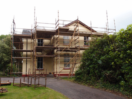 Drung RectoryRectory/glebe/vicarage/curate's house · 1723 yd
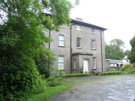 Corravahan HouseRectory/glebe/vicarage/curate's house · 1.1 miCastleCastle, unclassified · 2.0 miCastleCastle, unclassified · 2.0 mi
 Fin Mc Cools FingersStone row · 2.0 miFoundation Stone Blessed by Pope John Paul II 1979Memorial · 2.4 miGiant's GraveArchaeological place · 2.4 miCorgarveMountain / peak · 2.5 miGarden IsleIslet · 3.3 mi
 Cormeen Glebe ForestForest · 3.5 mi
 European Beech4.5 mi
More archaeology and monuments in County Cavan · All of County Cavan
What do you know about this place?