What is recorded here
Roadside, in village of Cannaway. Named 'Cannaway Natl. School Ho.' on 1842 OS 6-inch map. Single-storey, rectangular, gable-ended structure. Front of 6 bays; door in 1st and 6th bays; chimney on each gable. In residential use. Later school built to NW, shown on 1904 OS 6-inch map.
The above description is derived from the published 'Archaeological Inventory of County Cork. Volume 3: Mid Cork' (Dublin: Stationery Office, 1997). In certain instances the entries have been revised and updated in the light of recent research.
Date of upload/revision: 14 January 2009
The monument record does not grant public access. Check the route and ask the landowner before entering private land.
- What survives
- Recorded monument
Places near here
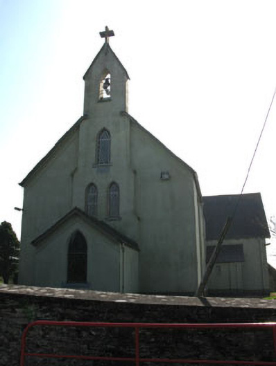 St John the Baptist Roman Catholic Churchchurch/chapel · 48 yd
 Fulacht fia in CoolnasoonFulacht fia · 52 yd
 Man-made underground passage in KillinardrishMan-made underground passage · 170 yd
 Carrigadrohid Hydro Electric Power Stationdam/reservoir/basin · 1242 yd
 Carrigadrohid Castle (in Ruins)Castle, tower house · 1434 yd
 Carrigadrohid CastleHeritage attraction · 1441 yd
 Carrigadrohid Castle InfoVisitor information · 1547 yd
 Steven's WoodWood · 1.0 mi
 Black WoodWood · 1.3 mi
 Mashanaglass Castle (in Ruins)Castle, tower house · 2.5 mi
 Priest MemorialMemorial · 3.3 mi
 Independence MuseumMuseum · 3.4 mi