
What is recorded here
Situated at the E angle of a small subrectangular lake (max. dims c. 190m NE-SW; c. 100m NW-SE), c. 25m from the original N and E shores. The lake is now reduced to a small swamp and is known locally as ‘Black Lough’. The crannog is depicted as an island in the lake on the 1834 edition of the OS 6-inch map. This is an overgrown cairn (diam. 15m; H 0.3m) surrounded by drains. No structural features are evident.
The above description is derived from the published 'Archaeological Inventory of County Monaghan' (Dublin: Stationery Office, 1986). In certain instances the entries have been revised and updated in the light of recent research.
Revised by: Michael Moore
Date of revision: 8 May 2018
The monument record does not grant public access. Check the route and ask the landowner before entering private land.
- What survives
- Recorded monument
Places near here
 European YewEuropean Yew · 24 yd
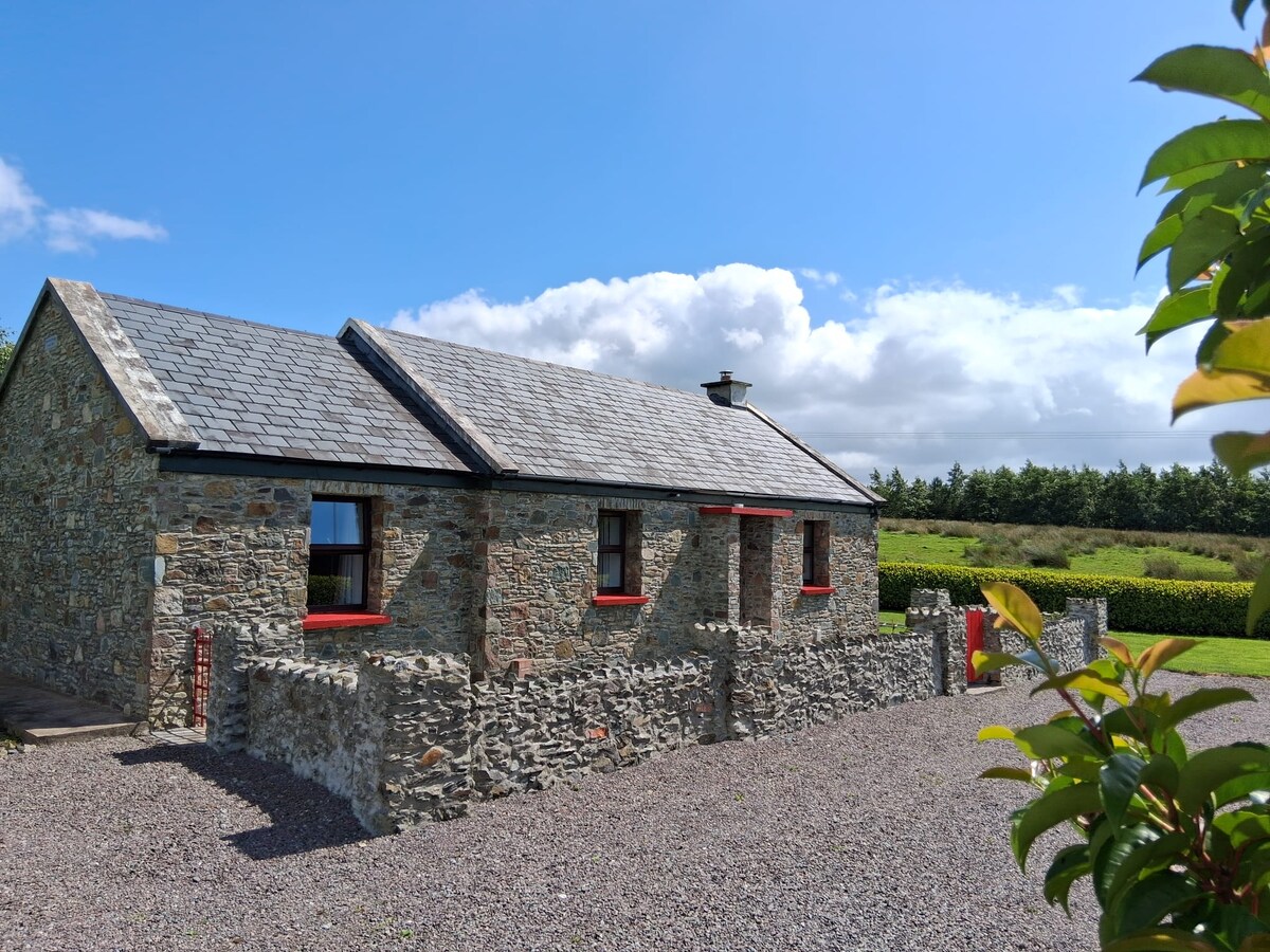 KilderryBurial ground · 571 yd
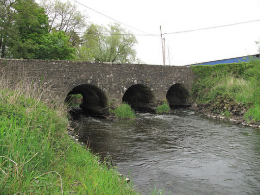 Cumber Bridgebridge · 686 yd
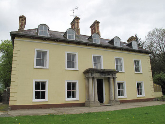 Ferney Housecountry house · 746 yd
 Standing stone in ScarvyStanding stone · 1335 yd
 Mullaghmore WoodWood · 1.1 mi
 Ulster Canal Stores Visitor CentreHeritage attraction · 1.4 mi
 Abbey RuinsHeritage attraction · 1.5 mi
 CastleCastle, motte and bailey · 1.6 mi
 Bawn in CrossmoyleBawn · 1.6 mi
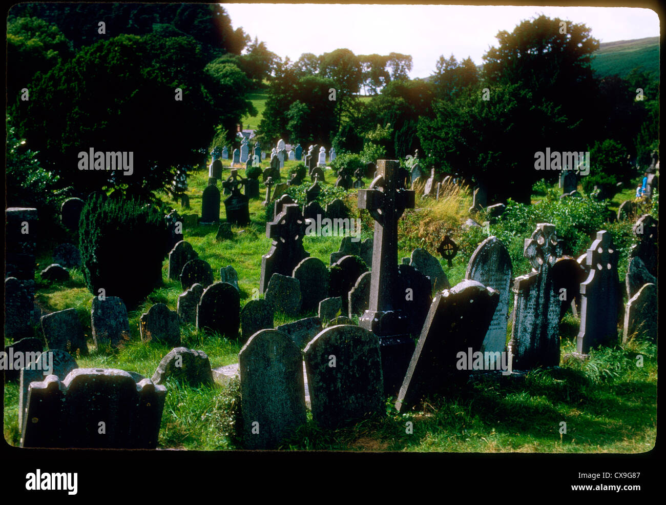 Clontivrin Grave YardArchaeological place · 2.0 mi
 Saint John's WellSpring · 2.4 mi
Other information
Photo: Credit not shown in the picture search · Rights wording not checked; contact us if this picture should be removed