What is recorded here
In a rectilinear pasture field, on a low rise in gently undulating terrain. There are extensive views SSW−NW over a lowlying basin of grassland, much of which is reclaimed from originally wet and boggy ground. A low ridge restricts views to N−E. A farmyard lies immediately to E.
Broadly oval platform (44.5m N−S; 53.3m E−W) defined by a scarp, outside which there are traces of a fosse with external bank. The overall plan appears to be suboval or subrectangular with rounded corners.
The scarp (ext. H 1.8m) is most substantial at SSW−NW, built up to compensate for a natural fall of ground, and retaining a hint of an internal rim at S−SW (Wth 4.6m; int. H 0.3m; ext. H 1m). At N−NNE it is reduced to a low slumped area, allowing tractor access to the interior. It is quite well defined at E−SE but at SE−S it is again low and disturbed.
The fosse is evident as a shallow depression (Wth c. 3m) at SW−NNW. There is a causeway-like break (Wth c. 3m) at N, and at NE−E the fosse is barely discernible, merely a slight dip marked by yellow flag irises. Remnants of the levelled outer bank are visible as a low rise (Wth 5.5m; H 0.3m) on the outer edge of the fosse at SW−W but peter out at NW.
The NW quadrant and centre appears to be slightly higher than the rest of the interior.
Compiled by: Jane O’Shaughnessy
Date of upload: 31st May 2023
The monument record does not grant public access. Check the route and ask the landowner before entering private land.
- What survives
- Recorded monument
Places near here
 Enclosure in CoolconEnclosure · 430 yd
 Castle (in ruins)Castle, unclassified · 552 yd
 IndicatedEnclosure · 1240 yd
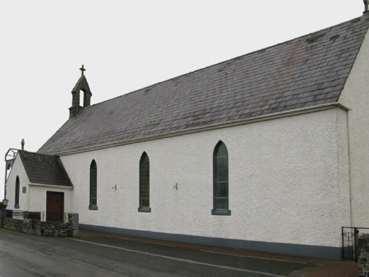 Saint Patrick's Catholic Churchchurch/chapel · 1292 yd
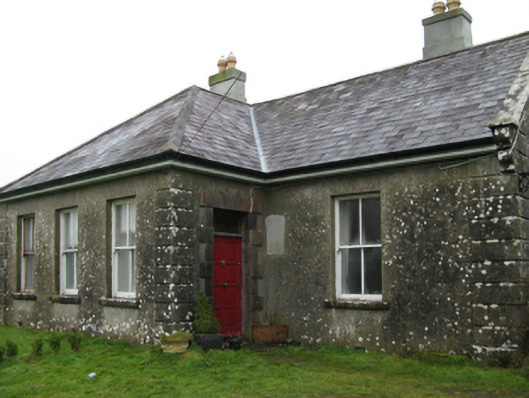 Ballyglass Housefarm house · 1759 yd
 Castle in ruinsCastle, unclassified · 1.4 mi
 European YewEuropean Yew · 4.1 mi
 Geoffrey's WoodForest · 4.2 mi
 Mass RockNamed rock · 7.4 mi
 Enclosure in Lecarrow (kilmaine By., Kilcommon Par.)Enclosure · 1.3 mi
 Hillfort in BelmontHillfort · 1.5 mi
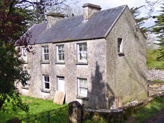 farm housefarm house · 1.5 mi